This is a text widget, which allows you to add text or HTML to your sidebar. You can use them to display text, links, images, HTML, or a combination of these. Edit them in the Widget section of the Customizer.
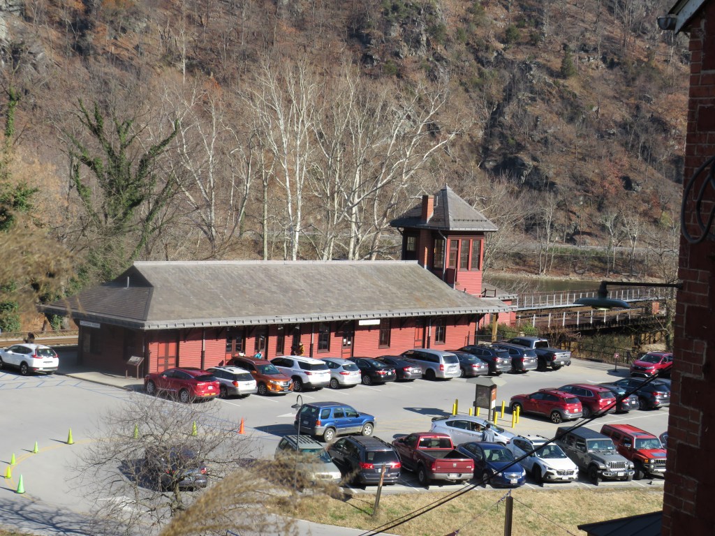
Many people have heard of the Battle of Antietam. Also known as the Battle of Sharpsburg, it was one of the largest battles in the American Civil War. Unlike the other major battles of Manassas and Gettysburg, the Battle of Antietam, named after Antietam Creek, was the largest battle of the American Civil War where the railroad did not play a role in the battle. After the war, family members who came to reclaim the bodies of their loved ones had to either travel to Hagerstown or to Keedysville and then traveled by horse and buggy to Sharpsburg. In 1877, the Shenandoah Valley Railroad came to Sharpsburg bringing railroad service to the town. The town grew around the railroad as people travel by train to visit the battlefield. A small train station was built west of the town along the Shepherdstown Pike (present day Maryland Route 34), but it was destroyed by fire in 1910.
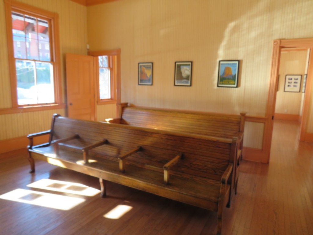
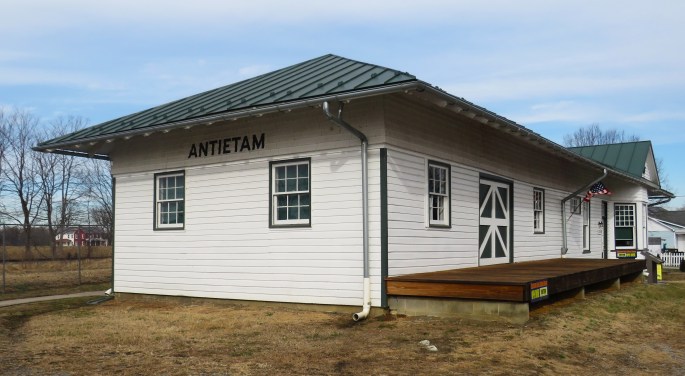
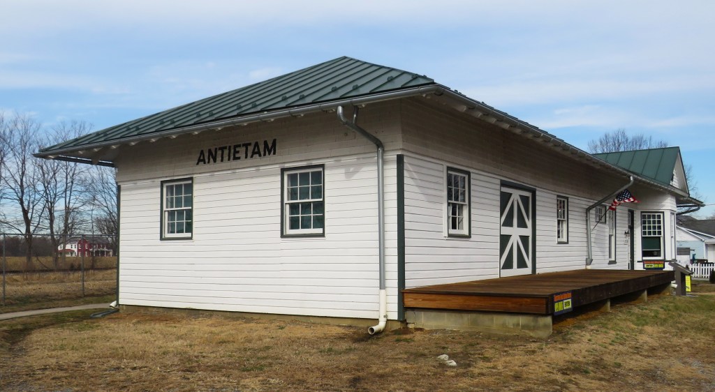
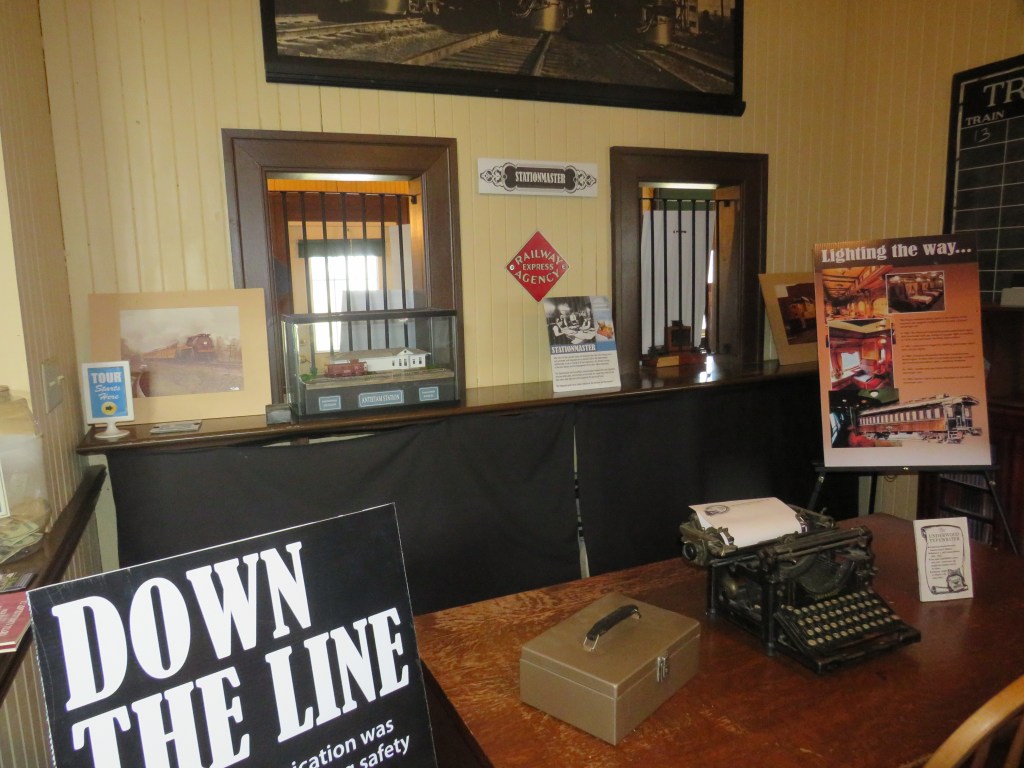
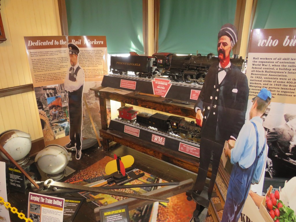
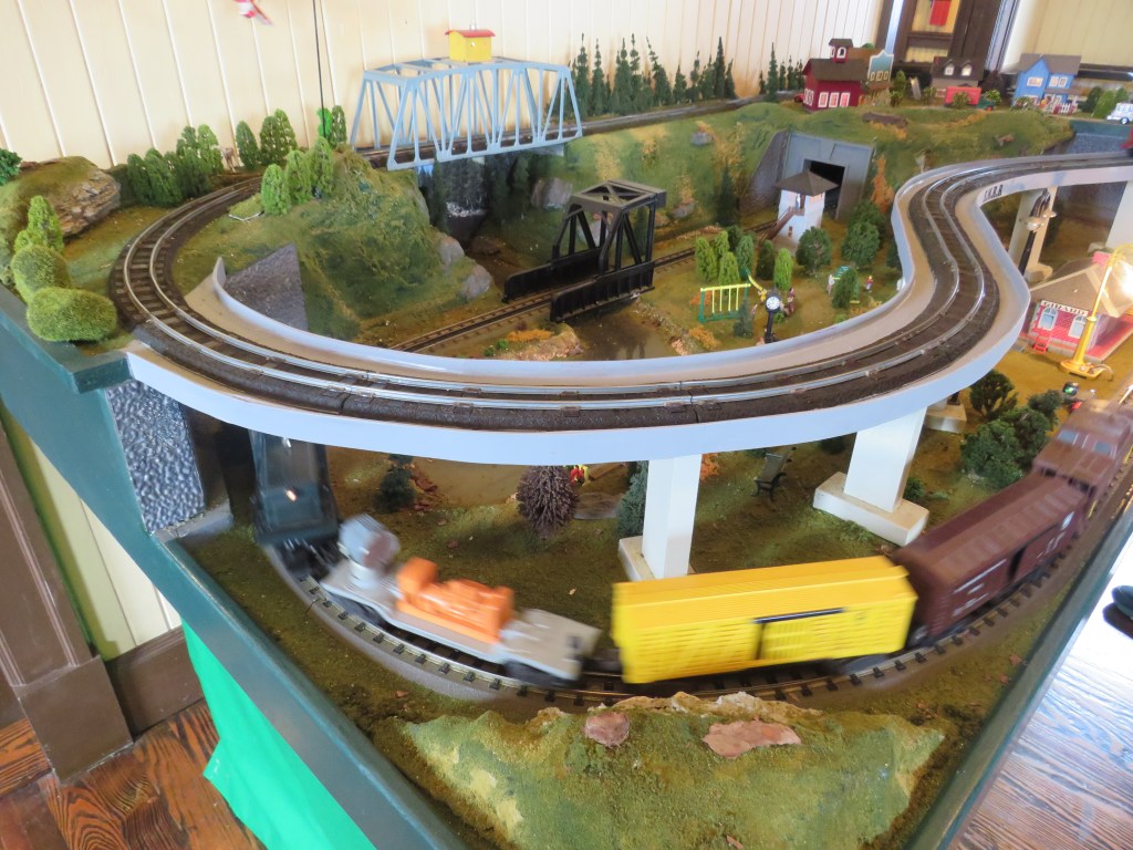
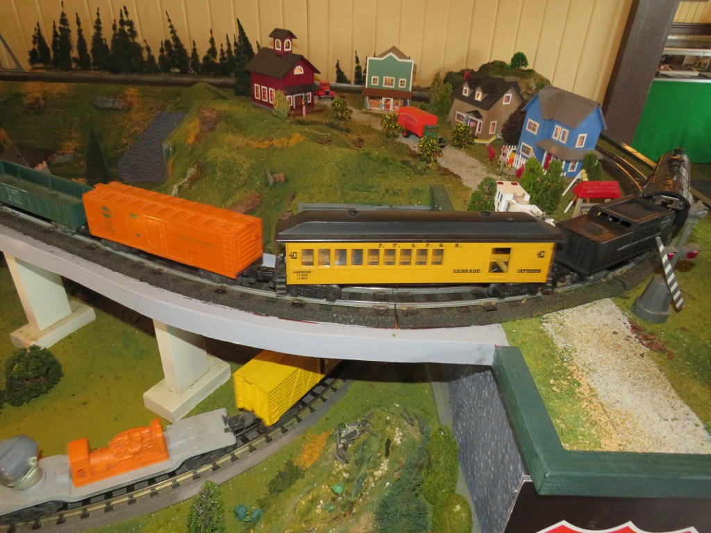
In 1911, Antietam Station was built to accommodate the many visitors to the battlefield as well as accommodate farmers who wanted to ship their produce by the train. When to automobile became a more common way to travel, the station played less of a role to the town. The station was sold to a private person. It was going to be demolished, but it was saved by local foundations. In 1997, it became to home of the Hagerstown Model Railroad Museum.
Some of you are saying, “Wait a minute. This is Sharpsburg. How can it be the home of a model railroad from Hagerstown?”
That is a very good question.
It is called the Hagerstown Model Railroad Museum because it was originally in Hagerstown, Maryland and was originally called the Hagerstown Model Engineering Society in 1937. Oh, it is the fourth oldest model railroad club in the United States of America. They first met in a local hobby shop. They met in other locations before they accepted an offer to be housed in the old Antietam Station.
Today, as you drive along Maryland Route 34 between Sharpsburg towards Shepherdstown, West Virginia, you can see the old Antietam Station with the old railroad line with Norfolk Southern Railway trains passing by… but not stopping. What looks like a lonely train holds model train displays and lots of history. It is located at 17230 Shepherdstown Pike (Maryland Route 34) west of the town. You can go to https://antietamstation.com/ to get information about their open houses and to read more about the history of the station and about the Hagerstown Model Railroad Club.
How many of you have ever heard of the small town of Seymour in the U.S. state of Indiana? Very few people have. The state has more famous cities and towns like the state capital Indianapolis, the home of the Indianapolis 500, and South Bend, the home of the University of Notre Dame, and Bloomington, the home of the University of Indiana. What about Seymour? It is where John Cougar Mellencamp, a famous rock-n-roll musician was born. (His boyhood home remains but is not It was the home of Katie Stam. Who is Katie Stam? She just happened to be Miss Indiana in 2008 and Miss America in 2009. Then you have Colonel Harland Sanders. Who is Colonel Harland Sanders? He was not born here, but he had family in town making him a frequent visitor. His claim to fame was the fact that he happened to be the man where the phrase ‘finger lickin’ good’ came about. Yep! He is famous for his Kentucky Fried Chicken. Seymour was also the home of Freeman Army Airfield, the first helicopter airfield in the United States of America. (It is a civilian airport today.) For many, Seymour, Indiana is a very special town.
Some of you are saying, “Wow! John Cougar Mellencamp was born here. I wonder if he met Jack and Diane here. It is probably a great town. The problem is that it is not a railroad town. Therefore, I will not be ‘crumblin’ down at the wall’ here.”
Ladies and gentlemen, you are absolutely wrong. How are you wrong?
As you drive into the town along U.S. Route 50, the very first thing you will see are railroads. The railroad played a big role in the town’s history. It is called the ‘Crossroads of Southern Indiana’ because of the railroad as an east west route, originally built by the Ohio and Mississippi Railroad connecting Cincinnati, Ohio and Saint Louis, Missouri, and a south north route, originally built by the Jefferson, Madison, and Indianapolis Railroad connecting Louisville, Kentucky with the Indiana capital of Indianapolis, passes through this town. The railroad lines were later taken over by the Pennsylvania Railroad and the Baltimore and Ohio Railroad. Today, you will see Chessie Seaboard Transportation trains (CSX for short) roll along these railroad lines.
Being the ‘Crossroads of Southern Indiana’, the railroad played a big role in the American Civil War. Due to the access the two big cities in the region, the Union Army set up a camp here, and the camp sent supplies by the railroad to regiments in the region.
If that is not enough, the town was the site of a railroad robbery. There have been many railroad robberies in the early years of railroading, but in Seymour, it was the site of the first robbery of a moving train. The Reno Gang robbed the Adams Express on the Ohio and Mississippi Railroad. Some of the gang members were caught and hanged.
Is that it? No. It was the site of a railroad strike in 1876. On October 22, 1908, William Howard Taft campaigned in his running for the United Stated President from the rear of a train. Weeks later, he was elected as the President of the United States of America.
The town of Seymour, Indiana is located in the southern region of Indiana east of Interstate 65 and U.S. Route 31 on U.S. Route 50. The town may not be famous, but the railroad played a famous role in the town. You may not meet Jack and Diane, but you may see a CSX train roll through.
The town of Hollidaysburg in the U.S. state of Pennsylvania is a suburb of Altoona, the city famous for the World Famous Horseshoe Curve. Hollidaysburg is also the home of the Everett Railroad. Not far from the Everett Railroad is a park called the Canal Basin Park. What is the Canal Basin Park?
Some of you are saying, “Well, it is a park designed around a canal basin.”
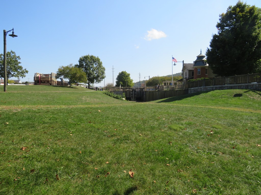
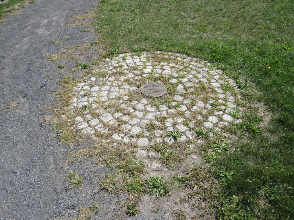
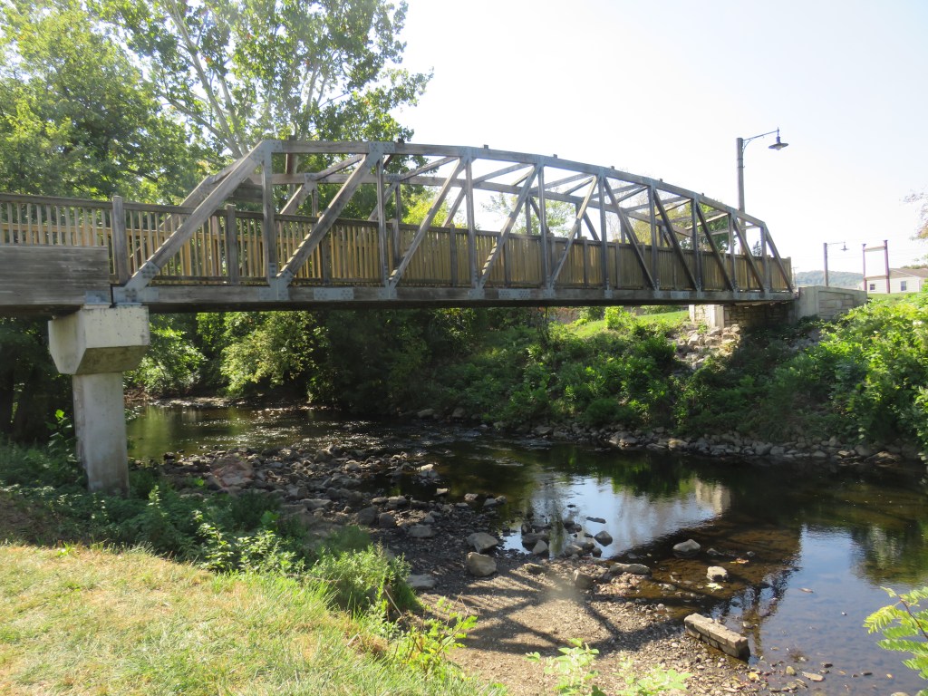
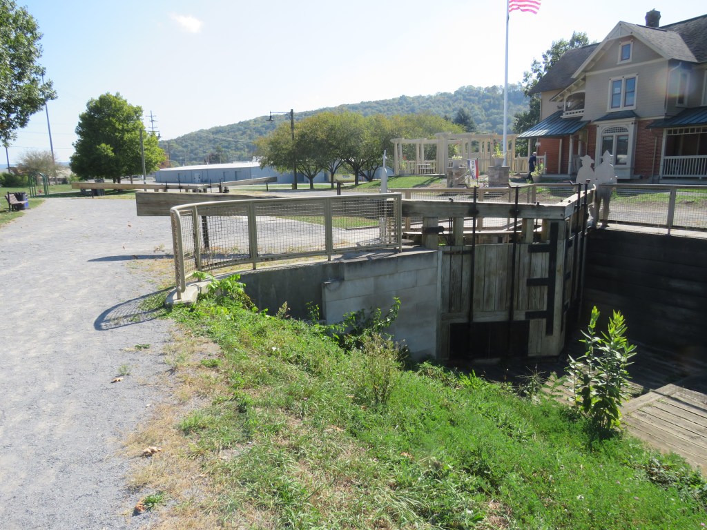
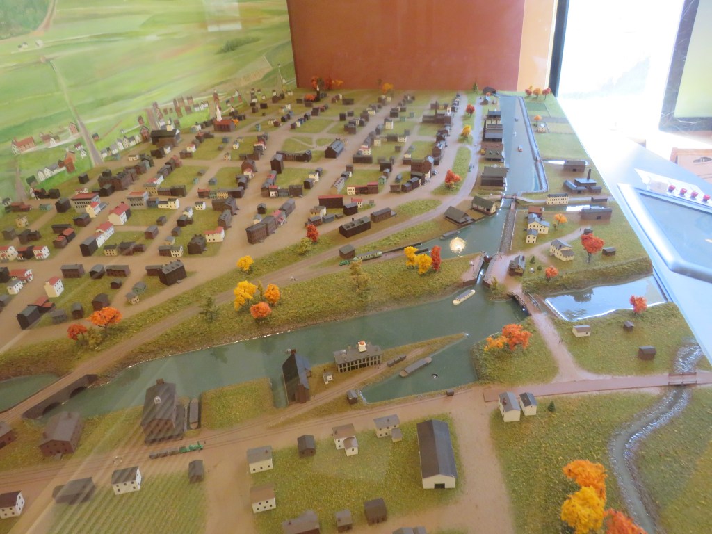
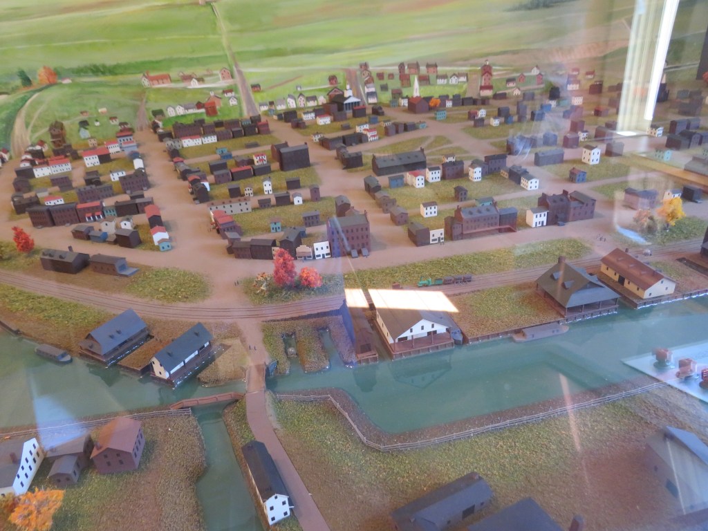
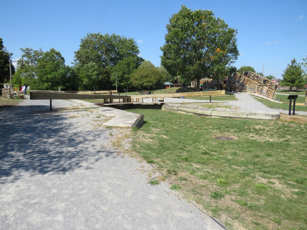
You are correct. Well, you are mostly correct. The park was designed around an old canal basin of the Pennsylvania Main Line Canal. Canal basins was an area where boats would wait until the canal channel was cleared, and then they continued on. The canal, like many of the old canals, was destroyed by flooding. Today, the Canal Basin Park consists of the remains of the basin, a replica canal lock, and a museum housed in an old Victorian home. The Canal Basin Park is a site that preserves American history.
Some of you are saying, “This is great. They take an old canal basin and build a park around it. There is a problem. This is not a railroad site. Therefore, you will not see me here.”
So why visit the Canal Basin Park in Hollidaysburg, Pennsylvania?
The Pennsylvania Main Line Canal was one of many canals built to allow boats to bring goods from the ocean port cities to the inland cities and towns. Each canal was built with a channel wide enough for a boat that was pulled by either mules or horses through the channels and the canal locks which allowed the boats to climb different elevations along the landscape. The Pennsylvania Main Line Canal was built connect the cities of Philadelphia and Pittsburgh. Along these canals, small towns were erected.
Then they came to the Allegheny Mountains. How in the world are you going to build a canal over the high mountain range.
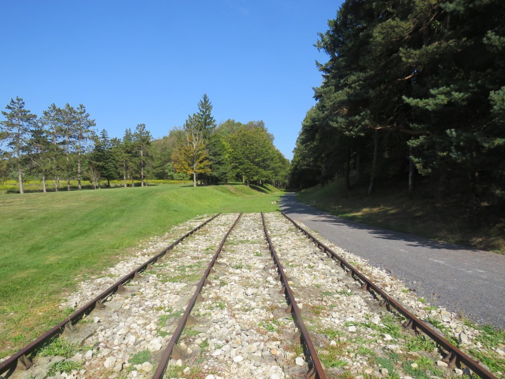
This brings us to Canal Basin Park. Yes, it was a basin where boats waited. It was not for the channel to be clear of boat. It was for the boats to be placed on a flatcar on a train. It was here in Hollidaysburg where the canal boats were put on the Allegheny Portage Railroad. The Pennsylvania Main Line Canal used the Allegheny Portage Railroad to carry the canal cars over the mountain range and then placed back into another canal basin where it continued along its way.
You see. You think that Canal Basin Park is about boats. It is, but it is boats combined with the railroad.
Canal Basin Park is located at 101 Canal Street in Hollidaysburg, Pennsylvania. It is a short drive from U.S. Route 22 and the Everett Railroad. The park is open from sunrise to sunset.
Next time you are in Hollidaysburg and riding the Everett Railroad, take a little time to visit Canal Basin Park. The boats and the railroad are long gone, but you can see a place where American history took place.
The Declaration of Independence has been signed, and the United States of America is a new nation. People come on ships across the Atlantic Ocean to arrive in the port cities to live in the new nation, but when they arrive, some stay along the Atlantic Coast, but some decide to go farther inland. They first travel by the famous horse and wagon, but then came the canals allowing boats to go farther inland. Then came the railroad. It was a race between the railroad and the canals to bring people west from the coast. The kept building west… but then they came to the Allegheny Mountains. Part of the Appalachian Mountain Range, the Allegheny Mountains became a big barrier to transportation. The railroad and the canals did have some success building tunnels and curves. In the U.S. state of Pennsylvania, they came up with a unique idea, and there was nothing like it anywhere in the world.
The Allegheny Portage Railroad was born. What was the Allegheny Portage Railroad?
The Allegheny Portage Railroad was not the first railroad in the United States of America, but it was the first railroad to do something that the Baltimore and Ohio Railroad and the Pennsylvania Railroad were not the first to do. It was the first railroad to cross the Allegheny Mountains. Yes, it was the very first railroad to take goods from the ports of the Atlantic Ocean to the inland of the United States.
Some of you are saying, “Wait a minute. We have heard about the Baltimore and Ohio Railroad. We have heard of the Pennsylvania Railroad. We have heard of the New York Central System Railroad. We have never heard of the Allegheny Portage Railroad.”
The Allegheny Portage Railroad had a unique purpose. What was its purpose? The Allegheny Portage Railroad was actually part of a canal system.
Some of you are saying, “Wait a minute. It is called the Allegheny Portage Railroad. How can it be part of a canal?”
That is a great question. As mentioned, it was a unique railroad. How? Unlike the major railroads that focused on getting passengers and goods from the coast to the midland, the Allegheny Portage Railroad had a special kind of cargo.
The Allegheny Portage Railroad was only thirty-six miles long. It began in the canal town of Hollidaysburg on the east side of the mountains and went up a steep grade over the ridge and then continued on the west side of the mountain range to the city of Johnstown.
Some of you are saying, “Well, that is not very far. The big railroads went from Boston, Massachusetts, New York City, New York, Philadelphia, Pennsylvania and Baltimore, Maryland to Buffalo, New York, Pittsburgh, Pennsylvania, and Cleveland, Ohio and Columbus, Ohio.”
That is true, but, in 1834, the Allegheny Portage Railroad was a unique railroad. There were many canals still in service. The state of Pennsylvania had its own canal system that would transport goods from Philadelphia to Pittsburgh. The canals were operable on hills and flat land, but they were not operable over mountain ranges.
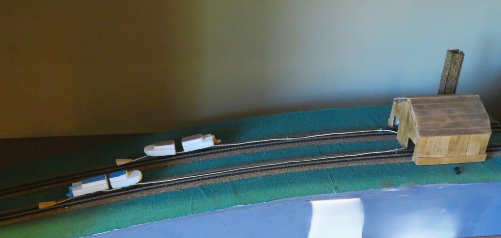
A canal boat would arrive in Hollidaysburg. From there, it was loaded onto the Allegheny Portage Railroad. The train, which consisted of two or three flatbed railroad cars, were they pulled along the rails by a pulley system that was built at the top on the mountain ridge. It was then lowered on the other side of the mountain ridge by the same pulley system to Johnstown. In Johnstown, the boats were taken off of the railroad cars and put into a canal, and the boats continued to Pittsburgh and points west. For canal boats going from Pittsburgh to Philadelphia, the reverse process was done.
Sadly, the Allegheny Railroad only ran from 1834 to 1854.
Some of you are saying, “I bet that the railroad is long gone to history and that the railroad bed is long gone and overgrown.”
Nope.
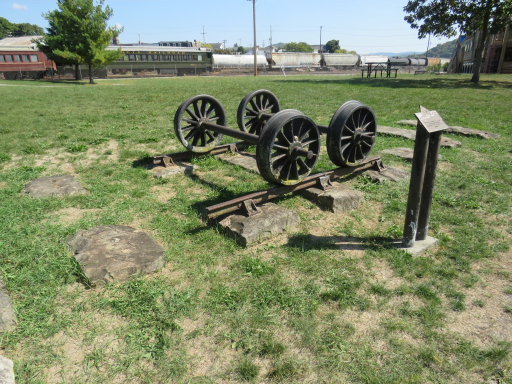
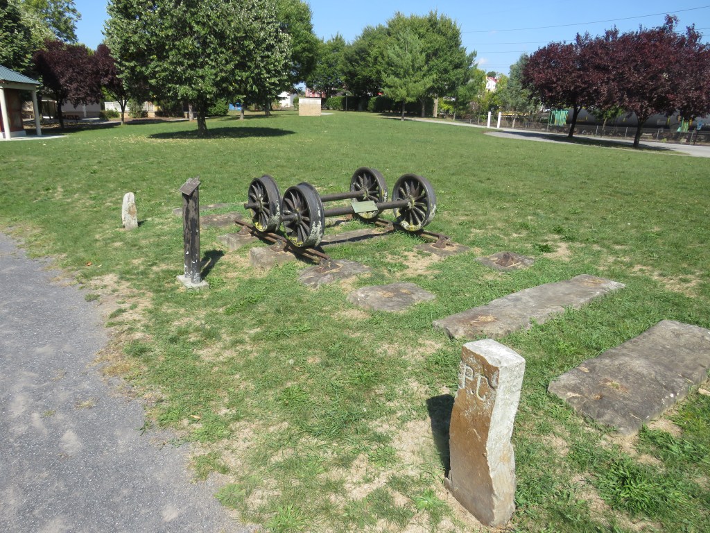
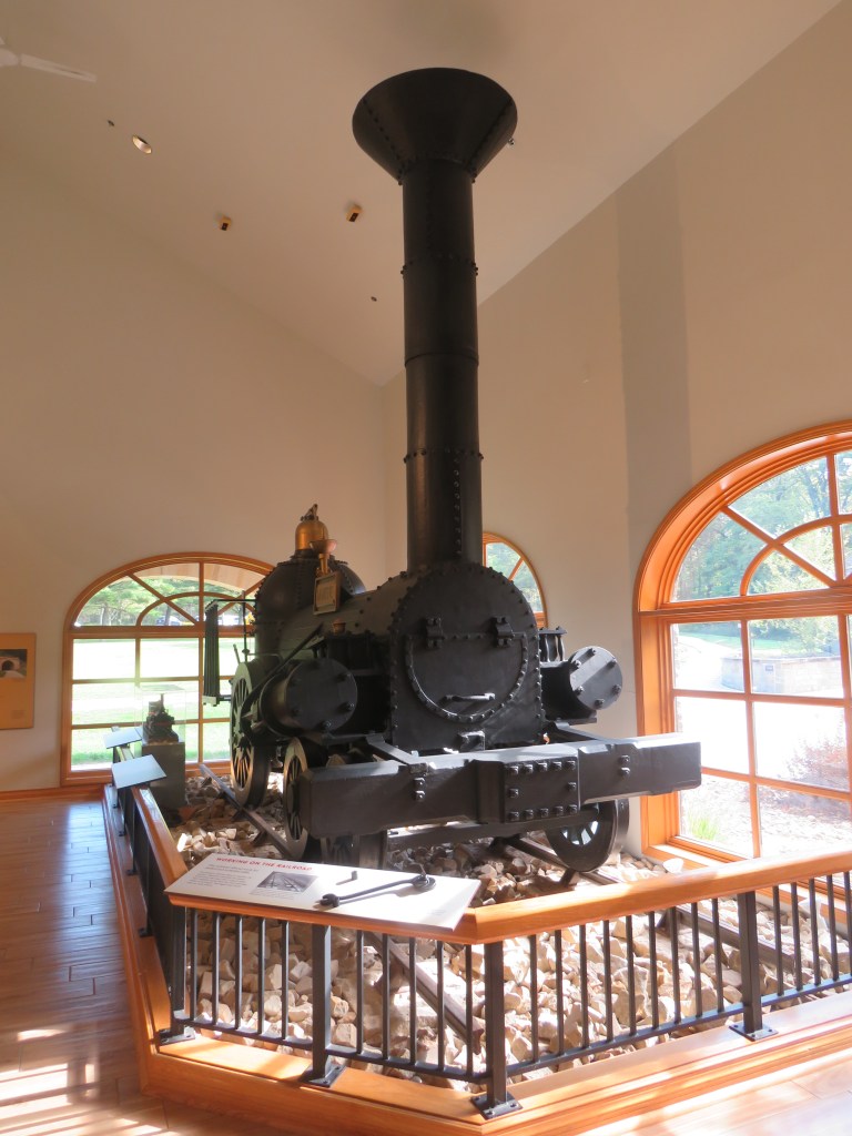
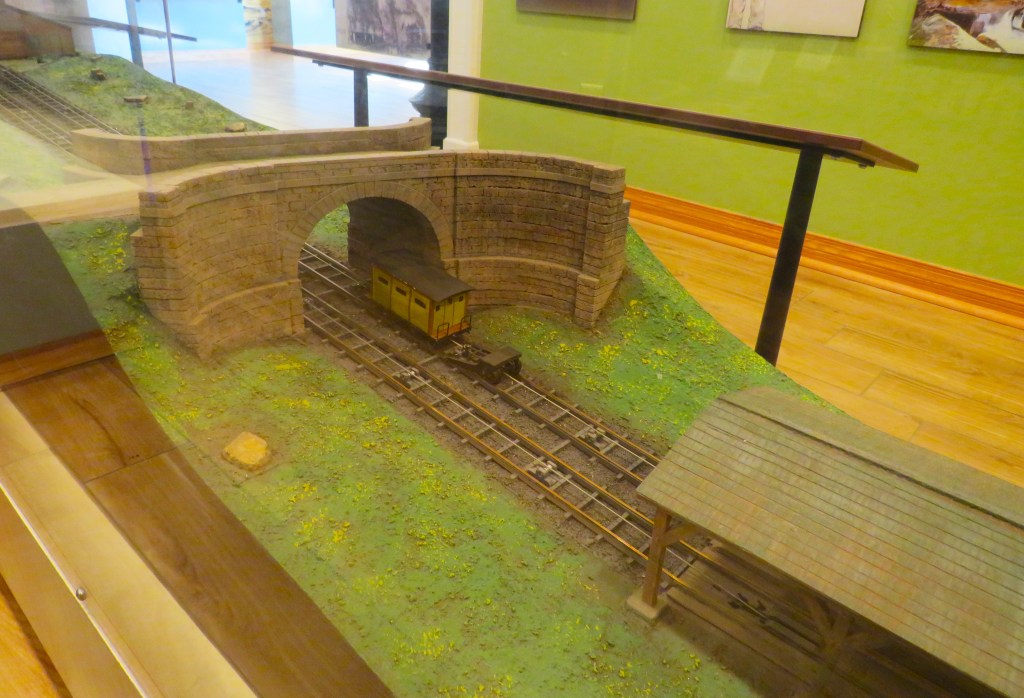
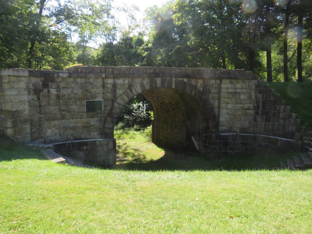
Welcome to the Allegheny Portage Railroad National Historic Site. The Allegheny Portage Railroad National Historic Site preserves the history and the site of the pulley railroad system. The site, owned and operated by the National Park Service, consists of the Visitor Center which houses a museum that shows the working of the railroad and how the railroad was built and how it operated. There is also a replica of the Number 6 Engine House where the pulley system pulled the train up the mountainside and lowered the trains on the other side. You can also visit the Lemon House. No, it is not made from actual lemons. It served as a tavern for those using the railroad. There are also hiking trails along the old railroad bed.
The Allegheny Portage Railroad Historic Site is located at 110 Federal Park Road in Gallitzin, Pennsylvania just off of U.S. Route 22. It is open year round from 9:00am to 5:00pm. (Closed on Wednesday and Thursday.) Parking is on site. The Visitor Center, the Engine House, and the Lemon House are wheelchair accessible, but the hiking trails are not. The great part is that there is no admission fee to visit the site. You can get more information about at Allegheny Portage Railroad National Historic Site (U.S. National Park Service).
The next time you are in Altoona, Pennsylvania, you can see the World-Famous Horseshoe Curve. You can see the National Railroaders Memorial Museum. You can ride the Everett Railroad. You can see the Gallitzin Tunnels. The Allegheny Portage Railroad Historic Site is another great reason to visit Altoona. It is truly a railroad site unlike any other in the world.
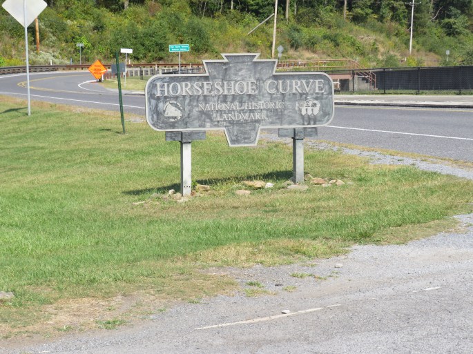
The U.S. state of Pennsylvania is a state with so many historic sites. From the signing of the Declaration of Independence and the United States Constitution in Philadelphia to the discovery of oil in Titusville, everywhere you step in Pennsylvania, history took place. When it comes to the railroad, one of the great railroad sites in the World Famous Horseshoe Curve in the city of Altoona.
Yes, there are other horseshoe curves. What makes this one so famous?
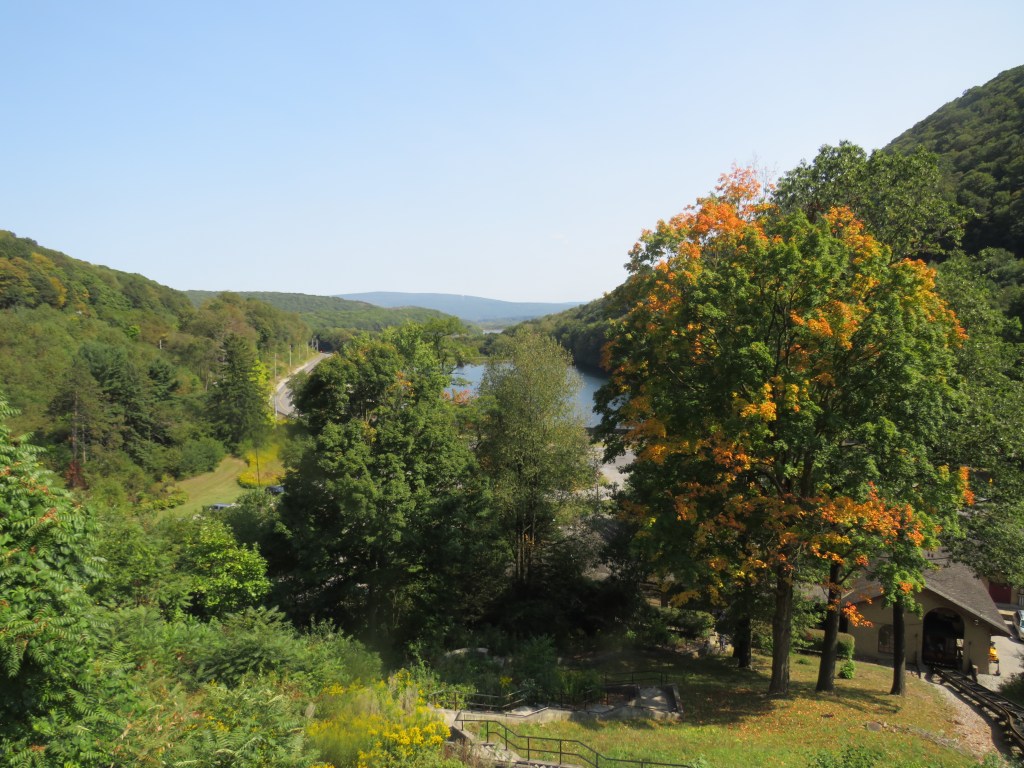
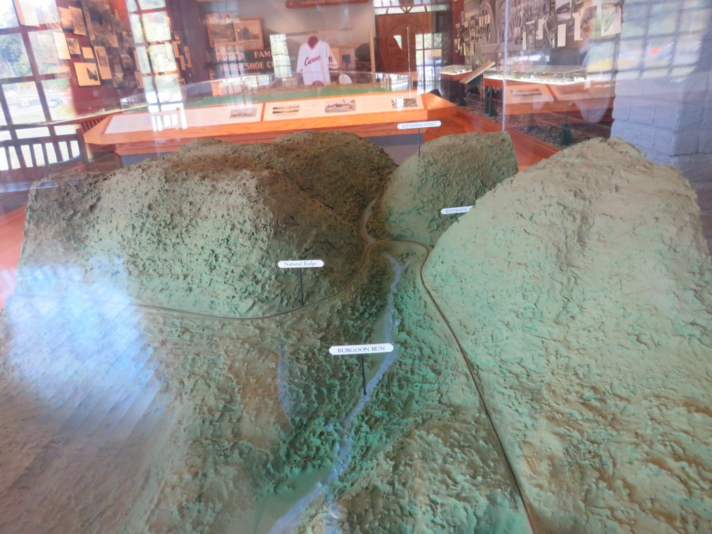
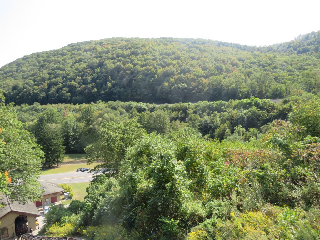
In the early years of the United States of America, settlers arrived on the beaches of the Atlantic Coast. As they came, there was a desire to go west from the Atlantic Ocean. The first attempt was the famous horse and buggy. Then they arrived at the Appalachian Mountains. Building roads over the mountains were very difficult. Then came canals. However, the canals were hard to build over mountains. Then came the railroad. The railroad then had a run-in with the mountain. Then an idea came. Instead on building the tracks straight up the mountainside, why not build the railroad bed along the side of the mountain going up the mountainside gradually. The railroad bed was built gradually going up the mountain into a cove where it made a U-turn on the mountainside. The World Famous Horseshoe Curve was complete. Trains were able to get up the mountain with a little help of the Gallitzin Tunnels allowing trains to from the cities of the Atlantic Ocean to the interior of the United States of America.
Today, the World Famous Horseshoe Curve is designated as a National Engineering Landmark. An engineer can drive his locomotive through the curve, and he could see the back of his train. Train watchers come and spend a day watching the trains roll through the curve. Along with the passing trains, there is also a small museum showing how the curve was built and the great efforts that were made to build the curve.
The World Famous Horseshoe Curve is located at 2400 Veterans Memorial Highway outside of the city of Altoona. (Please note that there is a tunnel north of the site with a height limit not suitable for busses and large recreational vehicles. Busses and large vehicles must approach the curve from the city of Altoona and not from U.S. Route 22.) Access to the viewing area is accessible to wheelchairs by way of funicular that operates during open hours. You can get more information, admission, and of hours at https://www.railroadcity.org/horseshoecurve.
When in Altoona, visit the World Famous Horseshoe Curve. No, you will not find horseshoes, but you will see trains pass through a major engineering marvel.
The state of Virginia is one of the original states of what would become the United States of America. The state has produced more U.S. Presidents that any other state to include George Washington, the first president, and Thomas Jefferson, the third president and the one who drafted the Declaration of Independence. The state has many famous historic sites like the Manassas National Battlefield, Mount Vernon, and Monticello. The state has many cities and small towns. In the central region of the state between the famous college cities of Charlottesville and Lynchburg is a small town known as Schuyler. What is famous about Schuyler? The town’s claim to fame is that it is the home of Earl Hamner. Who is Earl Hamner? He is famed for being the writer of the true stories that inspired the television show The Waltons, a television series that took place in that small town. In this town, you will find the Waltons Museum where you can learn about Earl Hamner and the television show. A few miles from the museum is where you will find another great place.
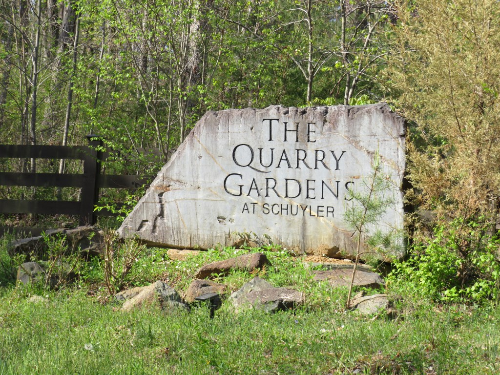
Welcome to Piedmont Discovery Center’s Quarry Gardens. What is the Piedmont Discovery Center’s Quarry Gardens?
Some of you are saying, “Well, duh, it is a garden that is in a quarry.”
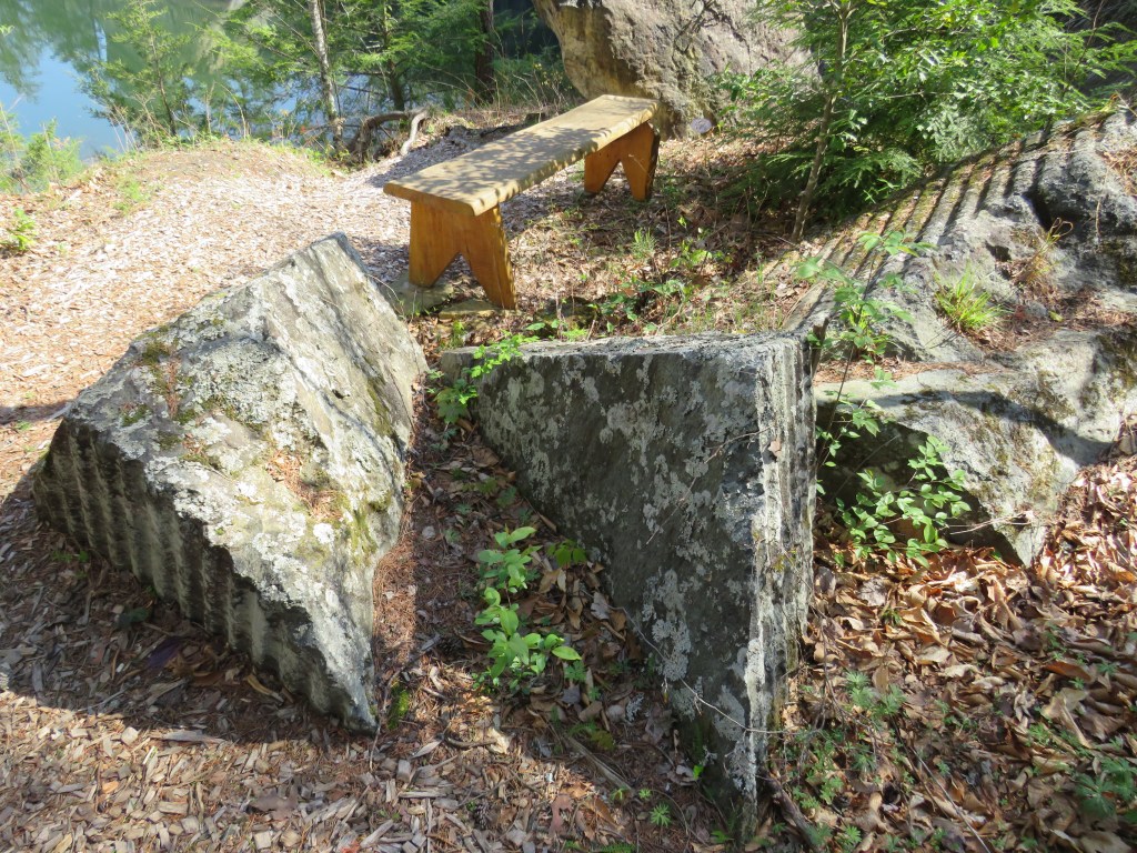
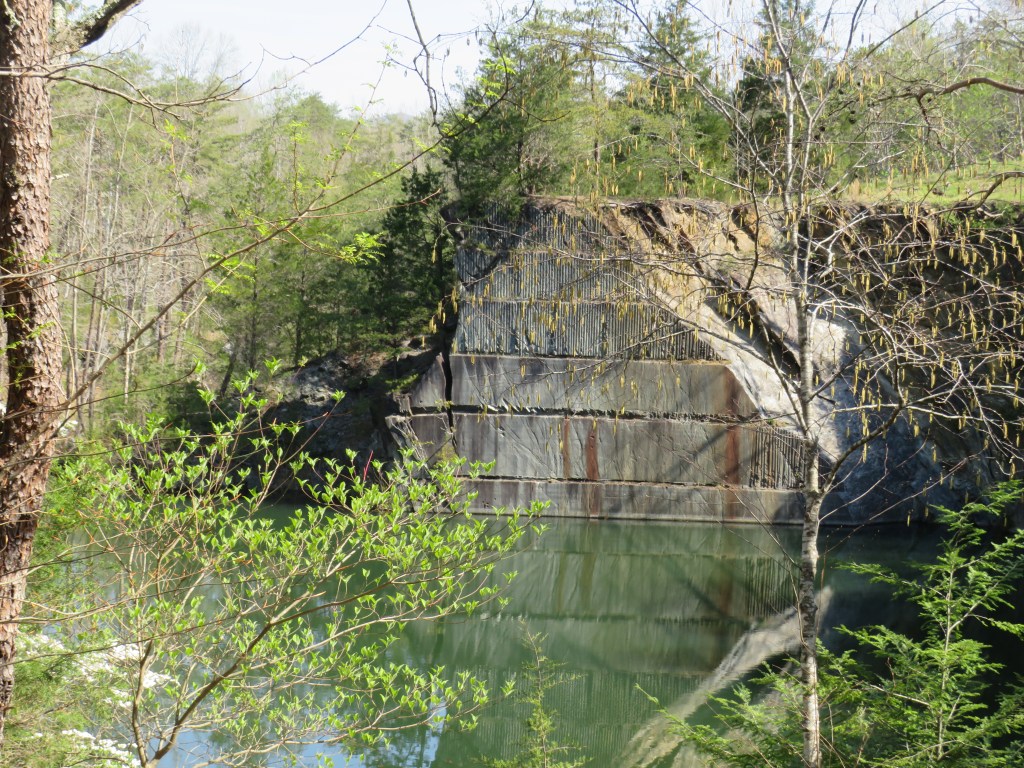
Well, you are exactly right. It is a garden that was formed in an old quarry. Well, there are two quarries. In its heyday, Schuyler was the soapstone capital of the world. The soapstone was cut out of the quarries, and it was shipped around the world. Soapstone was quarried on the land now owned by the Piedmont Discovery Center mainly between the 1950’s and the 1970’s, and then it became a dumping site. A couple named Bernice and Armand Thieblot came up with the idea of making the two quarries into a garden and opening it to the public. With help from the Piedmont Discovery Center, the idea became a reality. Today, you can hike the trails around the old quarries. As you walk around this peaceful place, you will never know that this was once a very active and messy place.
Some of you are saying, “Wow! I loved the Waltons, and I love gardens. It is amazing that they were able to make a garden out of this place. There is a big problem. This is an old quarry. This is not a railroad site. Therefore, you will not see me visiting here.”
Why visit the Quarry Gardens? It is not a railroad site. Why visit here?
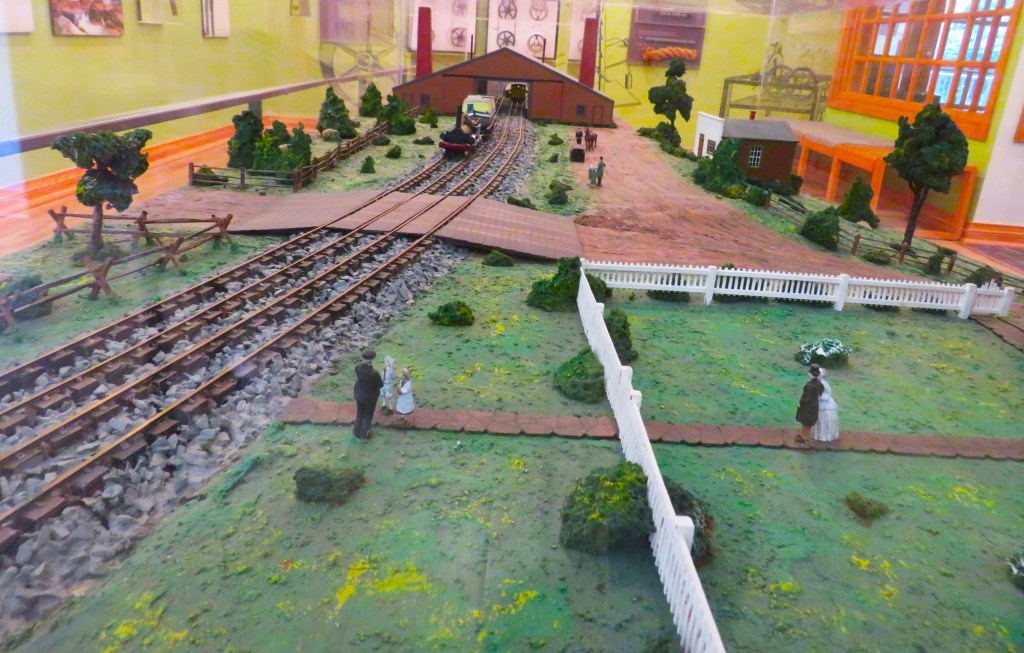
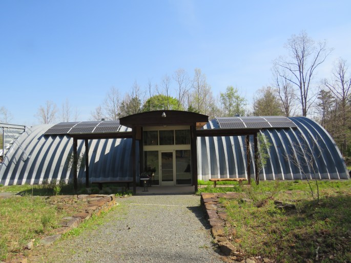
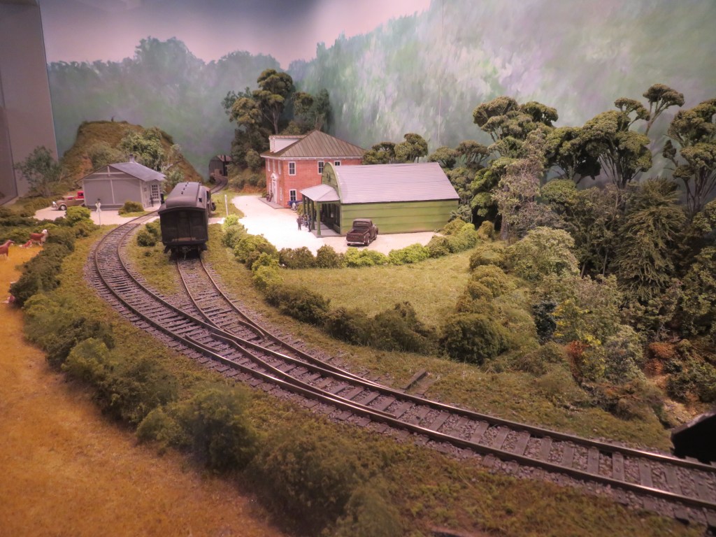
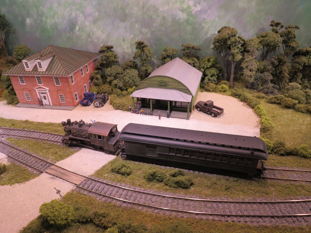
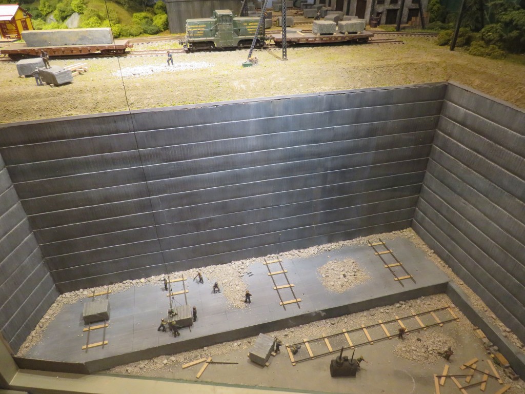
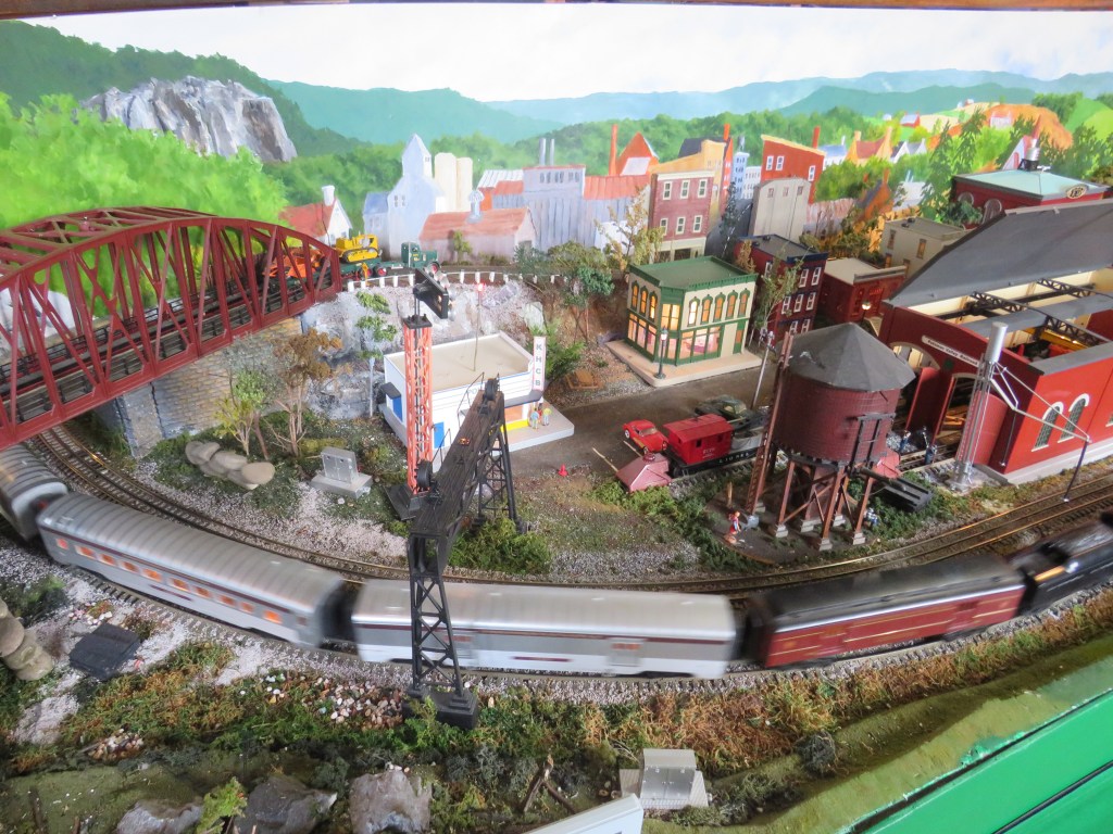
You arrive at the Quarry Gardens. You park your car, and you enter the Visitor Center to check in. The Visitor Center contains a small museum telling the history of the quarry and the soapstone industry. You can also learn about the different plants that have grown in the quarries. You then see a model train. I know. Some places have model trains, but this once is very special. How special? It is a model train display of the Nelson and Albemarle Railroad. What does the Nelson and Albemarle Railroad have to do with the quarry?
As soapstone was mined out of the quarries, it was shipped around the world. How was it shipped? You can use big trucks, but the mode of shipping the soapstone from the quarries was the Nelson and Albemarle Railroad.
The Nelson and Albemarle Railroad was a short line railroad that was only 17 miles of total track connecting the quarry to the nearby Chesapeake and Ohio Railway and the Southern Railway, which then took the soapstone to the rest of the world. The model train display tells the story of how the soapstone was taken from the quarries to the other railroads. When the quarries were decommissioned, the Nelson and Albemarle Railroad was no more.
Many of the old railroad beds are on private property, but you can see one of the old railroad beds in the nearby town of Esmont. The Chesapeake and Ohio Railway line is now owned by Chessie Seaboard Transportation, and the Southern Railway line is now owned by the Norfolk Southern Railway.
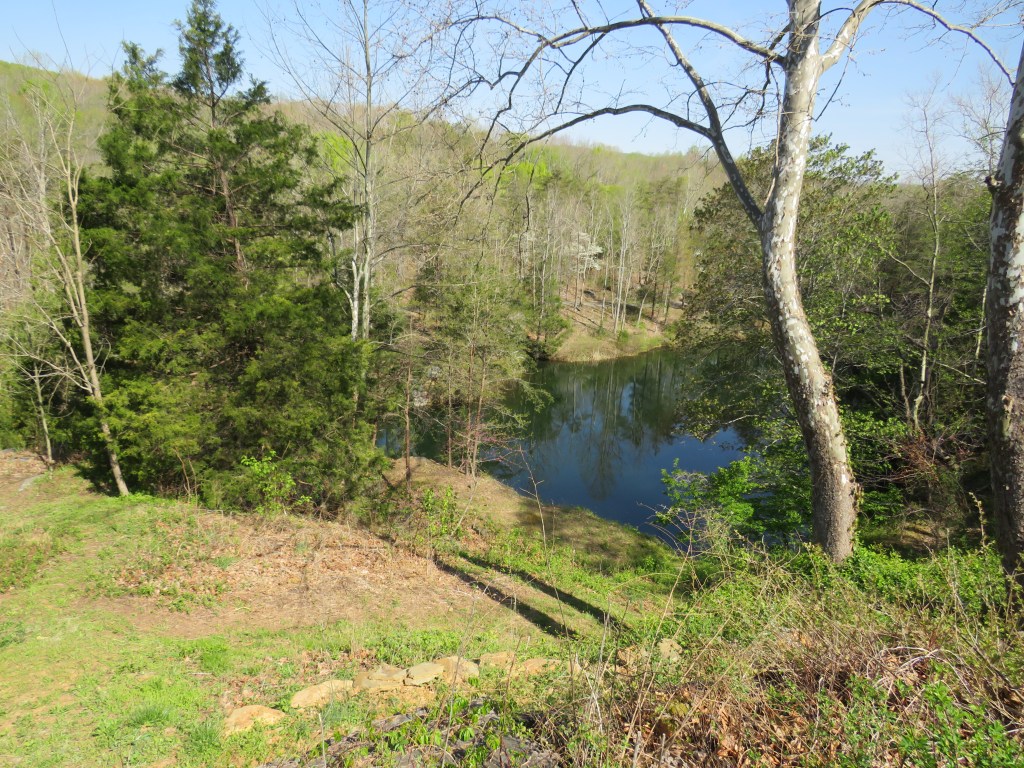
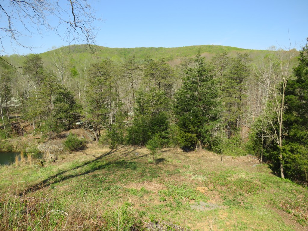
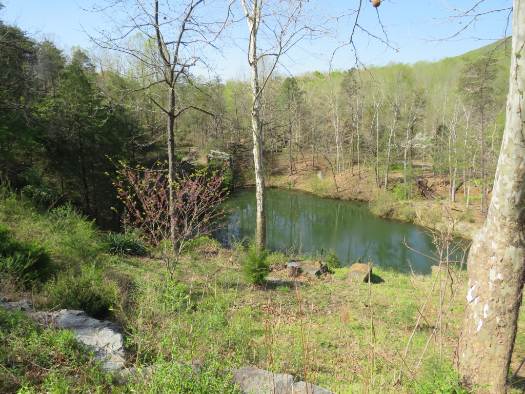
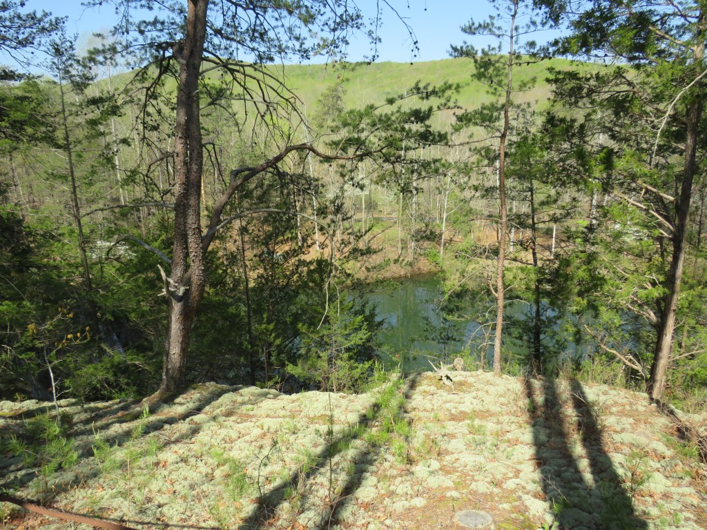
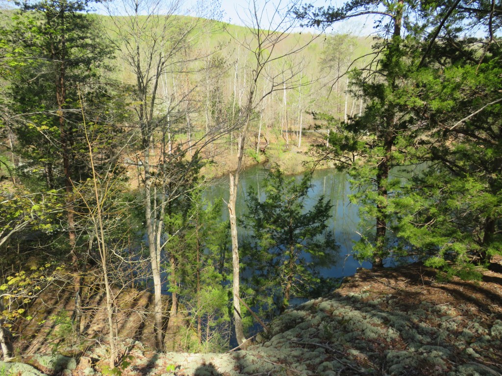
What about the gardens? There is great scenery everywhere you walk. You get great views of the quarries that are now filled with water. (The water is not safe to drink.) Please note that the pathways are dirt and gravel and not accessible to wheelchairs, and there are stairs to climb.
The Quarry Gardens are located at 1643 Salem Road in Schuyler, Virginia. Please note that you must make an appointment to visit the gardens and that you cannot simply enter on your own. You can go to https://quarrygardensatschuyler.org/ to purchase admission, get directions, and to learn more about the history of the garden.
Schuyler, Virginia was once the biggest supplier of soapstone in the world. It was the railroad that made it possible.
The U.S. state of Maryland is one of the original states in the United States of America. It was the state that donated the land that would become the Nation’s Capital. It is where the ‘Star Spangled Banner’ the National Anthem, was written. It was where a woman named Harriet Tubman created ‘The Underground Railroad’, an escape network for enslaved people in slave states to escape to the free states in the north, and this escape network is used in other parts of the world today. It is where the first balloon flight took place, and the oldest continuously operating airport in the world is located here. The largest estuary in the United States of America divides the state. The oldest Catholic church is also here. The eastern end of ‘The National Road’, is located here. The first tracks of the railroad were laid in this state. The Western Maryland Railway Locomotive Number 1309, the largest operating locomotive in the world that was originally owned by the Chesapeake and Ohio Railway, pulls excursion trains out of Cumberland. You have the coastline at the east end. You have the plains east of the Chesapeake Bay. You have the rolling hills west and north of the state with the mountains at the western end.
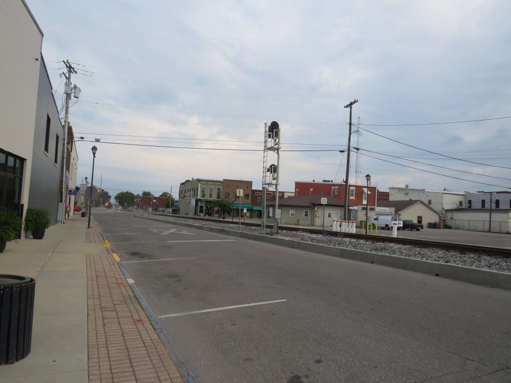
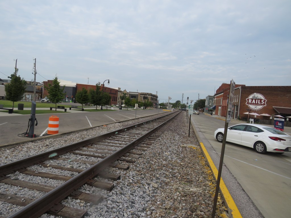
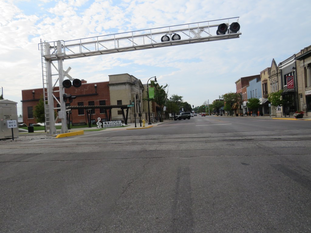
You then have a forgotten part of the state known as Southern Maryland. The region on the western shore of the Chesapeake Bay south of Annapolis, the State Capitol, is a region not too many people know about. It is the home of Point Lookout where the Point Lookout Lighthouse is one of the most haunted lighthouses in the world. The Patuxent Naval Air Station has one of the longest airport runways in the world being one of the few runways where the space shuttle could land. The Patuxent River, sadly, was used by the British during the War of 1812 as they sailed up to a town called Upper Marlboro and then marched on to Washington D.C. to burn the city. The state was also settled down here, and it is where Saint Mary’s City, one of the oldest cities in the United States of America, is located.
You see all of this about Southern Maryland, but you wonder anything about the railroad. Well, there is some railroad history in the region of this state. Because of the Chesapeake Bay and the wideness of the Potomac River south of Washington D.C., most of the railroad lines ended here. The defunct Chesapeake Beach Railway brought vacationers from Washington D.C. to the then resort town of Chesapeake Beach, Maryland. Sadly, the tracks are gone, and much of the railroad bed is on private property. The old train station in Chesapeake Beach is the only surviving train station on that line, and it is a museum today.
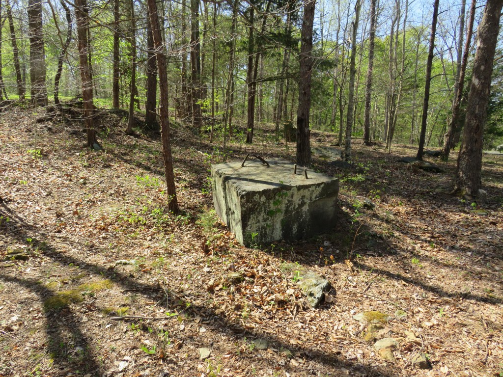
There is another railroad line that went south from the town of Bowie. It was originally built by the Baltimore and Potomac Railroad, and it is owned by Chessie Seaboard Transportation (CSX) today. It connects with the Amtrak line in Bowie and winds its way through the southern region of the state to a coal plant on the Potomac River. One of the towns it passes through is the town of La Plata. What is special about La Plata? Well, it is the home of the only surviving train station on the line. Today, that train station is now a museum.
Some of you are saying, “This is nice. The train station is still there. It is not a major railroad line. Why do they not demolish the train station?”
La Plata, like many small towns in the railroad era, owes must of its history to the railroad. Before the automobile, the railroad was the fastest mode of transportation. Sure. It took a long while to ride the train to Washington D.C. and points south, but it played a major role in the development of the town. When you visit the old train station during its opening hours, you will see model trains, and you will see many photos of the railroad in the town. This includes photos of passenger trains that served the station. You can also see some of the old schedules.
Need a reason to visit Southern Maryland? The old train station in La Plata, Maryland, it a good reason. It really tells the story of the railroad in the region.
The Old Train Station is located at 101 Kent Avenue just north of Maryland Route 6 and less than one mile west of U.S. Route 301. Admission is free, but they could use your donations to keep the museum open for many years to come. The museum is owned by the town of La Plata and run by volunteers. Parking is on site, and the station is wheelchair accessible. You can get information on the opening hours on their Facebook page and on their website at Facilities • La Plata Train Station Museum.
The next time you think of the state of Maryland, think of a small southern town of La Plata. It is a town that keep the history of the railroad in the region alive.
In the early years of the United States of America, whaling was a way of life. What is whaling? Men would step aboard ships, and they would head out to sea. Why? They were hunting whales. They would take harpoons and throw them at the whales. (Harpoons are basically a specific kind of spear mainly used to pierce the thick skin of animals.) The whales were pulled onto the ship, and they were processed at sea and turned into lubrication and oil used for lighting. Back in the day, it was the main source of income particularly in the New England States. The story of Moby Dick is a story that was inspired by the whaling industry. (Moby Dick was the name of a fictional whale.) Today, the hunting of whales has been banned in the United States of America. (It is still legal in some countries but with limitations.) Although the whaling industry is no more, you can learn more about the industry at the New Bedford Whaling Museum in the city of New Bedford in the U.S. state of Massachusetts. In the heyday of the whaling industry, New Bedford was an international port city. Today, you can see the waterways where the whalers (whale hunters) would depart and return each day. The New Bedford Whaling Museum tells the story of the whalers, the industry, and the life of a whaling town.
Some of you are saying, “Wow! This is great. There is a museum that is dedicated to whaling. I do have a problem with this museum. What is the problem? This is a whaling museum, not a railroad museum. Therefore, I will not have a whale of a time visiting this place.”
You do have a point. It is called the New Bedford Whaling Museum. It is about the whaling industry and not a railroad museum. Why should somebody who is a railroad fan visit this museum?
The museum, founded in 1903 as the Old Dartmouth Historical Society but operates under the name ‘New Bedford Whaling Museum’, features different galleries and exhibits exhibiting the life in the whaling industry. One exhibit displays a half scale model of a whaling ship called the ‘Lagoda’. What is special about this ship? It is the largest scale model ship in the world.
Some of you are saying, “That is nice. However, there is nothing about the railroad here.”
What does this have to do with the railroad? Well, there is no connection with the railroad and the whaling industry. Why visit this museum?
The museum tells the story of the whaling industry in New Bedford, but New Bedford also had other industries like glass and textiles and other industries in the town. One of the exhibit halls is the ‘Energy and Enterprise’ exhibit. Yes, it displays the industries in the city. As you look around, you see a model of a streetcar. Streetcars began in New Bedford from 1872 by the New Bedford and Fairhaven Street Railway Company. The Union Street Railway Company took over in 1887, and it ran until 1947. A model of Streetcar Number 540 is in a glass display.
Is that all? No.
Another display tells the story of how the railroad connected the city of New Bedford to the rest of the nation. In 1840, the railroad came to town. Being a major international port at the time, items were transported from the ships onto railroad cars and transported to various towns throughout the United States of America.
Yes, it is called the New Bedford Whaling Museum, but it also tells the history of the city and how the railroad was a big part of the city. The museum also has collections that are related to the Old Colony Line, the New Bedford Railroad Company, and the Union Street Railway Company.
The New Bedford Whaling Museum is located at 18 Johnny Cake Hill in New Bedford, Massachusetts. It is located off of Interstate 195, U.S. Route 6, and Massachusetts Route 18. It is open Tuesday to Sunday (closed Monday) from 9:00am to 5:00pm. The museum is fully wheelchair accessible. Please note that the museum does not have its own parking. You can get information on parking, buy tickets, look more into their intensive collection to include those about the railroads and streetcars, and get more information at Home – New Bedford Whaling Museum.
Yes, it is called the New Bedford Whaling Museum. It is a whaling museum that also tells the story of how the railroad was a major contributor to the industry of this town.
The U.S. state of Missouri is located in the middle of the United States of America. It is famous for its two major cities: Saint Louis, commonly called the ‘Gateway of the West’, and Kansas City, a city known as ‘The City of Fountains’ for having more fountains than any other city in the world. The Mississippi River makes up the eastern border of the state while the Missouri River flows through the central region of the state. One of the most famous routes in the nation, U.S. Route 66, passed through the state. One of the towns along this route is the town of Pacific. Located 30 miles (50 kilometers) southwest of the city of Saint Louis, many travelers passed through the town until Interstate 44 was built which is far more used today. The town was the site of a battle during the American Civil War. The town of Pacific, Missouri is an American Midwestern small town that tells the story of Midwest America.
Some of you are saying, “Wait a minute. Pacific, Missouri? The state of Missouri does not border any ocean nor is it anywhere near the Pacific Ocean. Besides, this is not a railroad town. With Missouri being the ‘Show Me State’, do not waste my time showing me the town of Pacific, Missouri.”
Well, not too many people know about the town of Pacific, Missouri. Before the Interstate Highways were built, many travelers passed through here. It is not near any ocean to include the Pacific Ocean. Why would anybody what to visit this town?
Well, the town was not always known as Pacific. It was originally called Franklin, Missouri. It started out as a town of log cabins, but it then evolved into a regular town. In 1853, the Pacific Railroad came to the town. A railroad depot was built, and a post office was established. In 1864, ‘The Battle of Pacific’ a battle of the American Civil War, took place. The Confederate Army burned many structures to include the train depot. The Confederate Army attacked the railroads around the town. The Union Army eventually were able to force out the Confederate Army. A new railroad depot was built in 1882, and in was in use until 1961 when passenger service declined. The depot was demolished in 1976.
Today, you can follow the original route of U.S. Route 66 through the town. The Union Pacific Railroad and the Burlington Northern Santa Fe Railroad (BNSF) roll through the town today, and the Union Pacific Railroad have offices here. Located on S. First Street just south of the railroad crossing is Pacific Station Plaza. Located at the original site of the train depot, you will see an inspector’s car and a caboose from the Burlington Northern Railroad. The town is located off of Interstate 44 and U.S. Route 50.
The named time you here about a town called Pacific, Missouri, it is not just a town on the old U.S. Route 66. It is a town that got its name from the railroad.
How many of you have ever heard of Shippensburg University located in the town of Shippensburg in the southern region of the U.S. state of Pennsylvania? Alright! It is not as well-known as Penn State University or Harvard or Notre Dame. It began as Shippensburg University of Pennsylvania in 1871 before it was simply named Shippensburg University. For a university that it not very well known, it has had many famous visitors like Pat Benatar, Salt and Pepa, George Carlin, and Jesse Jackson. Every semester, they have many students that attend this university. Shippensburg University is a university that has a deep history.
Some of you are saying, “Wow! This is nice. A university that has a deep history. Oh, I love Pat Benatar. She must have hit the place with her best shot. There is a very big problem. There is no railroad here. Therefore, I will not be making my best shot to visit here.”
Shippensburg University is a university that has a rich history. It is not famous for railroad history. What does Shippensburg University have to do with the railroad? Although the Norfolk Southern Railway passes through Shippensburg, it is a few miles from the university.
As you walk around the university, you see the various structures. You then notice what looks like a rail trail. The Cumberland Valley Rail Trail begin on the northeast side of the university, and it is here where you see two boxcars. The Penn Central boxcar houses the Cumberland Valley Railroad Museum, and the Conrail boxcar houses the Conrail Museum. The railroad line was originally built by the Cumberland Valley Railroad, but it was later taken over by the Penn Central Railroad, and Conrail was the last railroad to run on the line before railroad service ended.
What does this have to do with Shippensburg University? It was a plot of open land along the Cumberland Valley Railroad that became the determining factor for the location of the university. The railroad would bring students to and from the university and played a big role in the establishment of the school.
The next time you think about Shippensburg University, think about a university that had its beginning with the railroad. You can hike the Cumberland Valley Rail Trail and get a feel of how the students came to school.