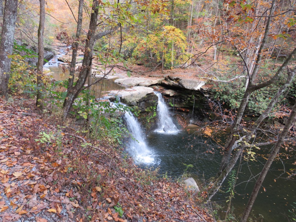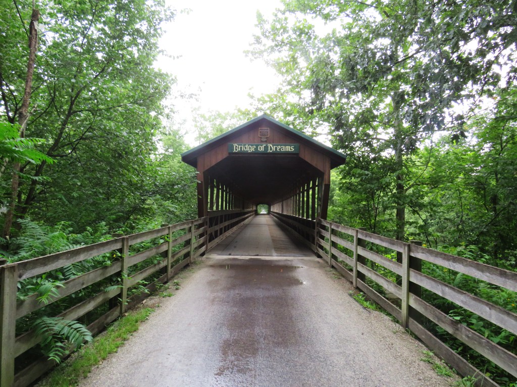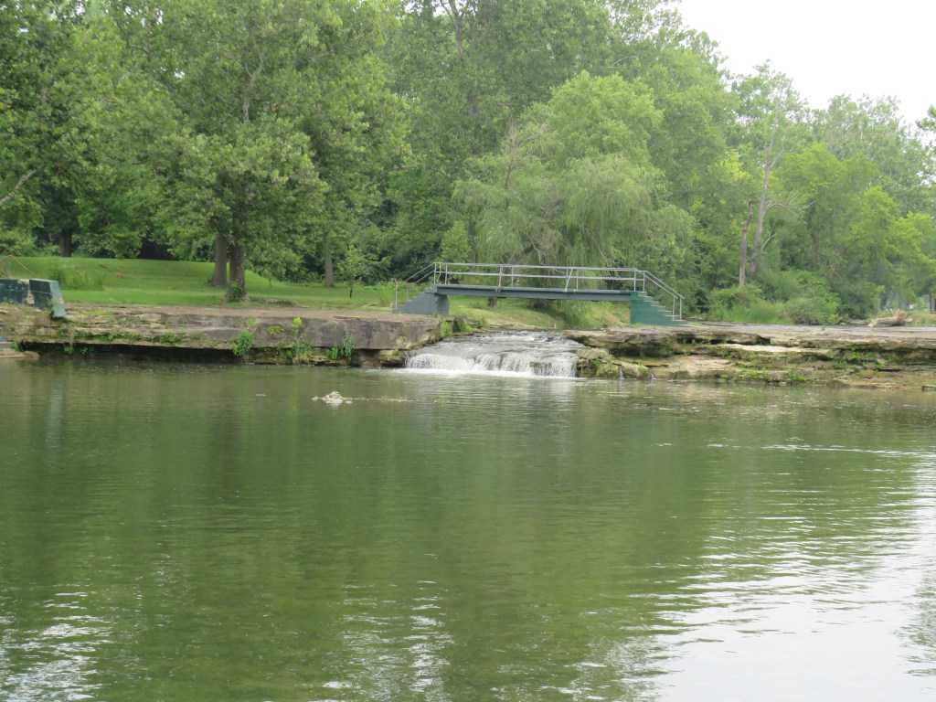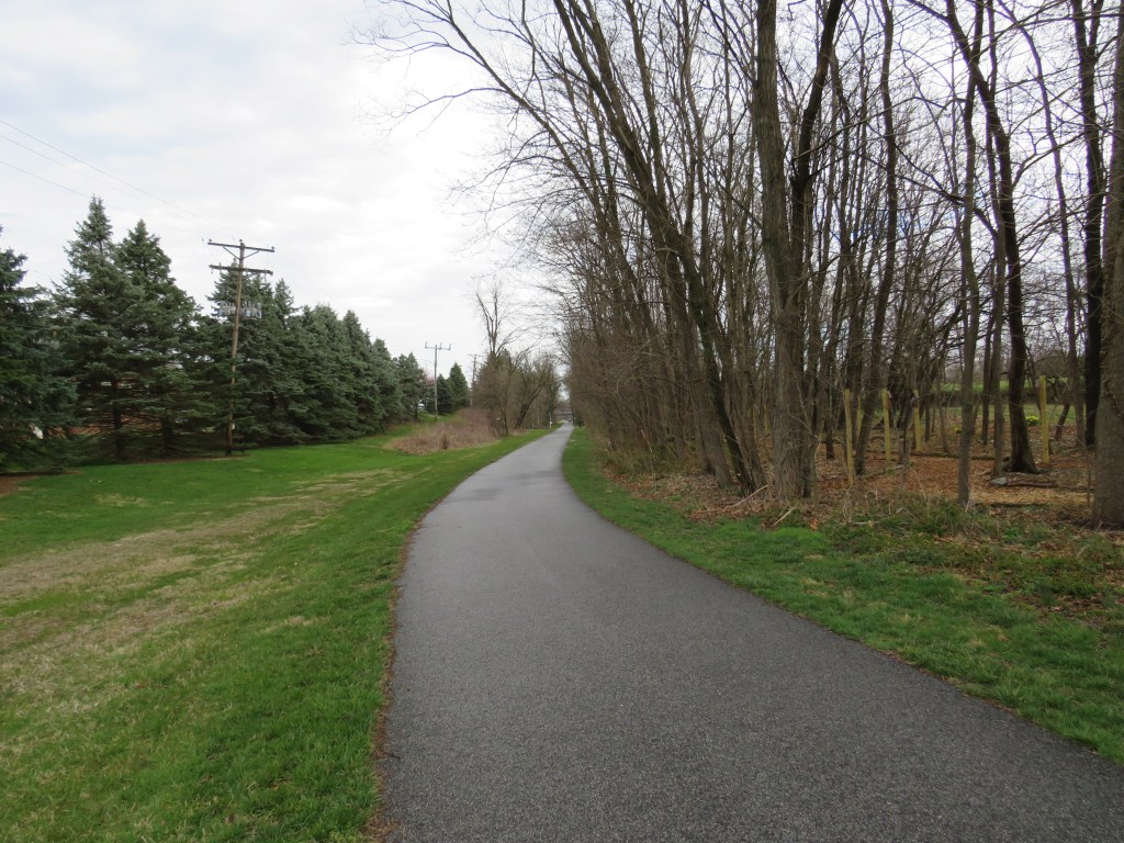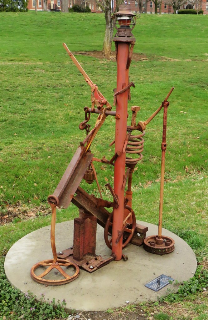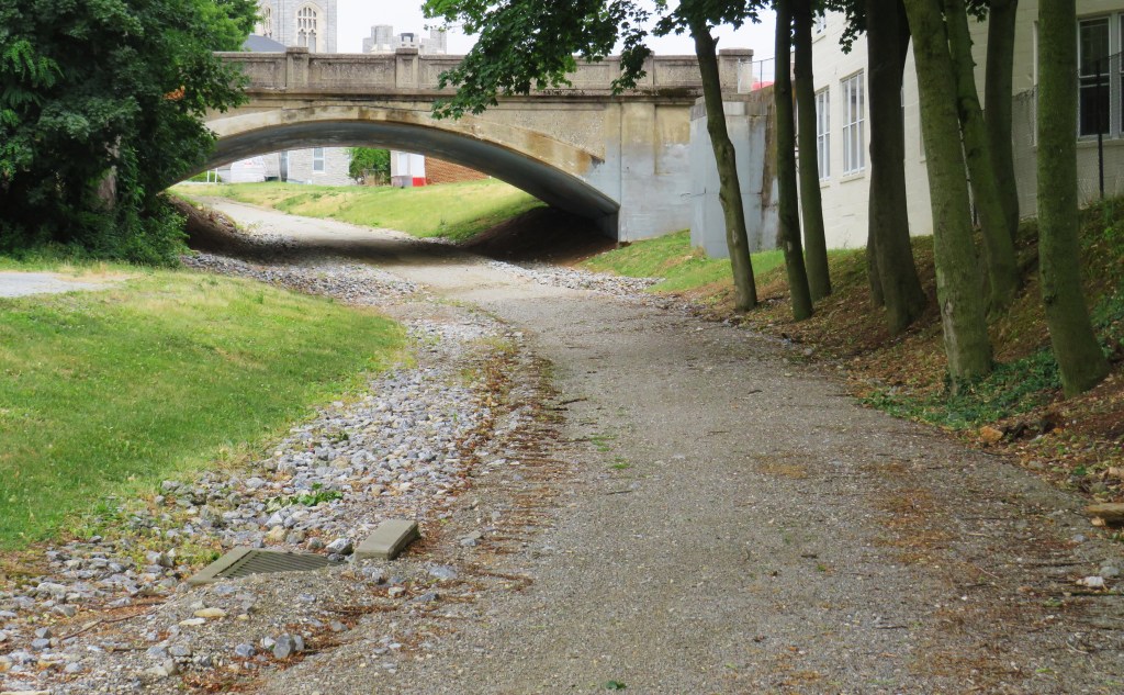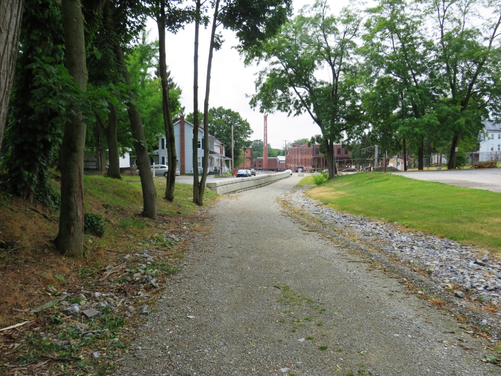
In the heyday of America railroading, the railroad connected the small towns with the major cities. As many railroad lines were no longer used, many of the railroad tracks and the railroad ties were taken up while some rails and ties were left to decay. Some of the railroad beds were left to erode over time while some were covered into rail trails. (A rail trail is a trail designed on an old railroad bed to be used for hiking, biking, horseback riding, or just plain walking.) Many of the trails are paved while some remain dirt or have gravel.
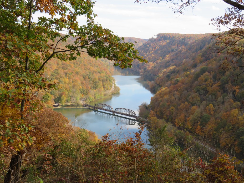
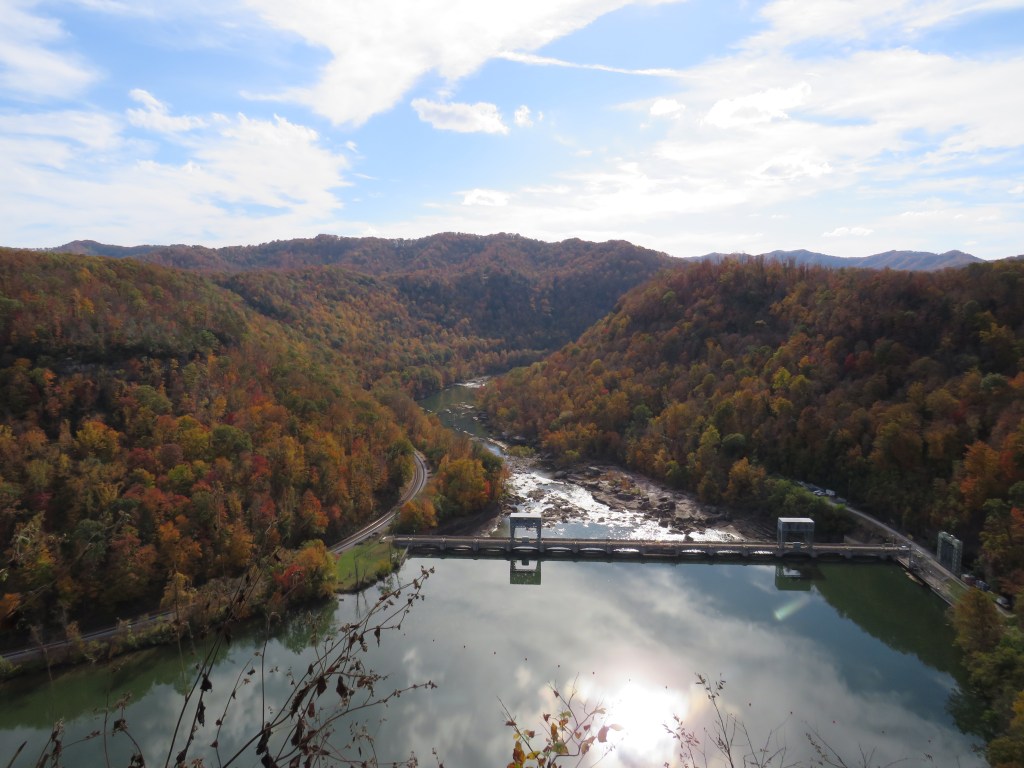
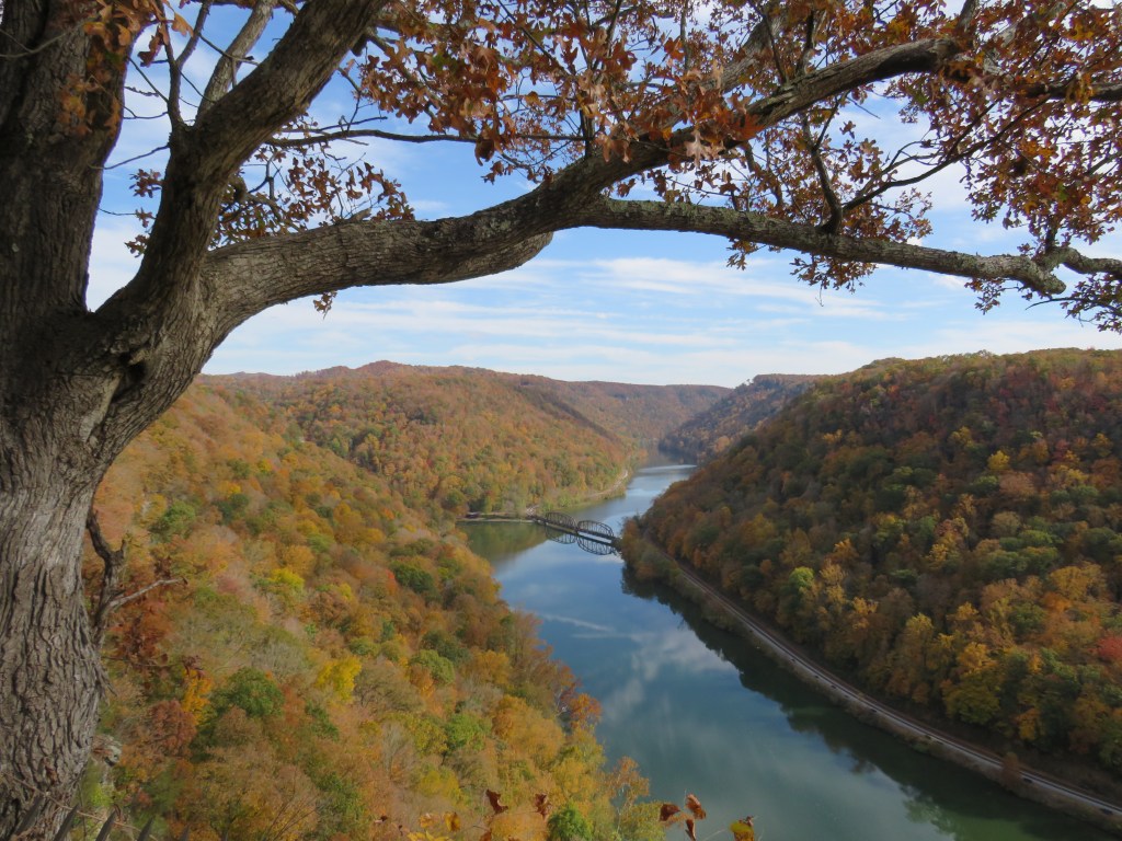
In the U.S. state of West Virginia in the metropolitan region of Beckley, you will find the town of Oak Hill. The town is not very famous although it is said the country music singer Hank Williams may have died at a gas station in this town while on route from Bristol, Virginia to Canton, Ohio. (The story has not been confirmed.) The only thing most people know about Oak Hill is that most people drive by the town on U.S. Route 19 while traveling from Beckley to the World Famous New River Gorge Bridge which is just north of the town. One thing that is confirmed is that the town of Oak Hill was served by the railroad.
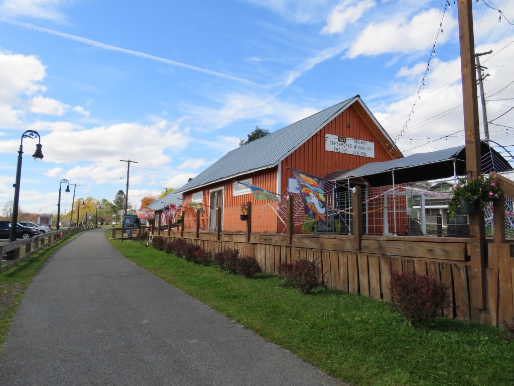
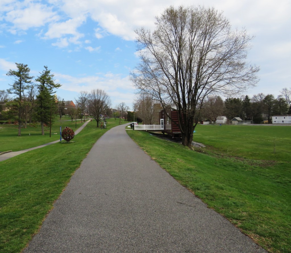
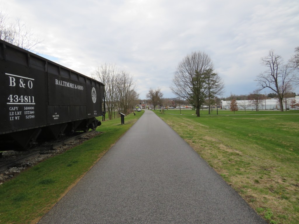
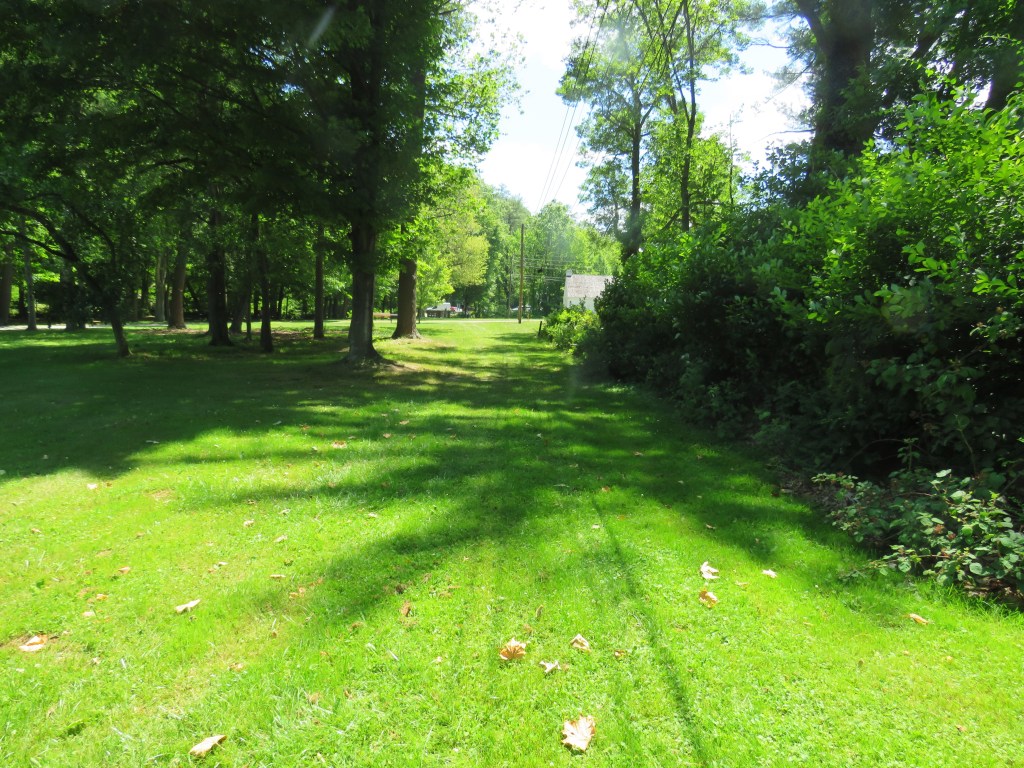
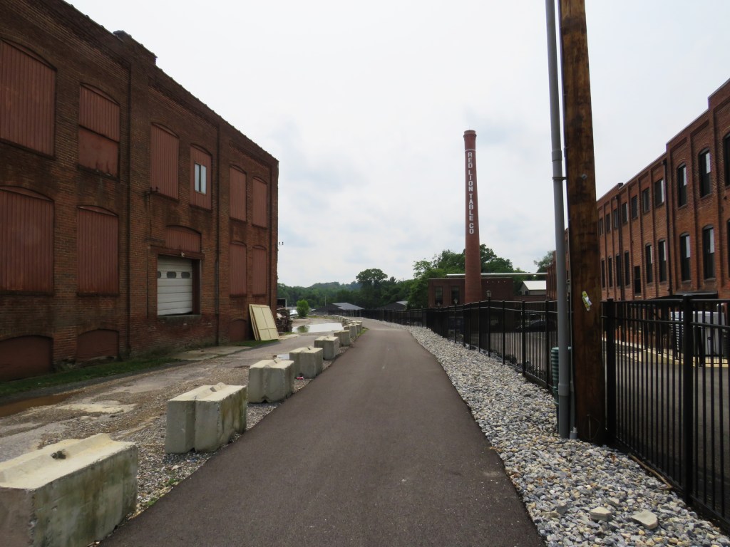
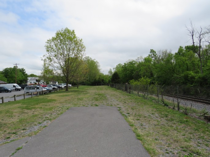
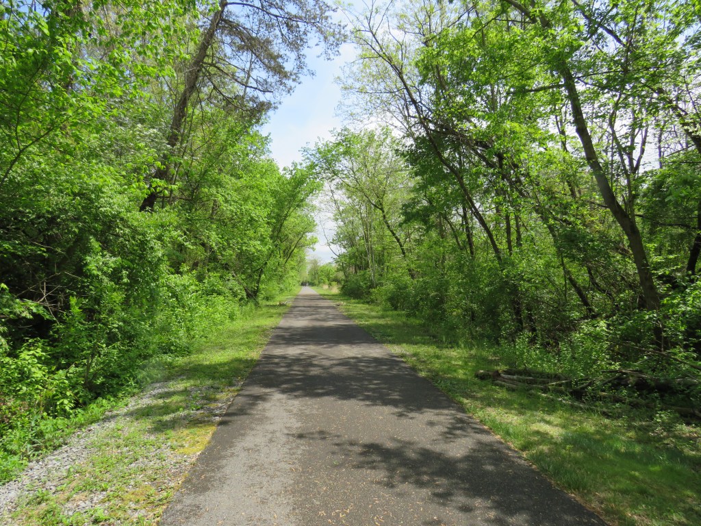
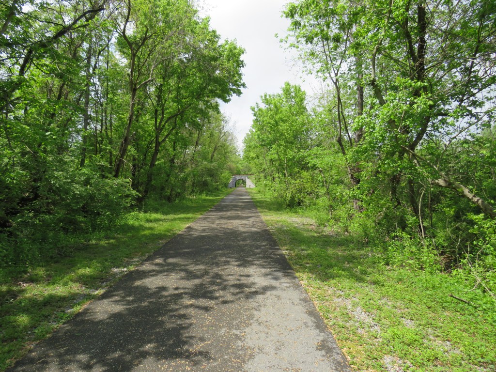
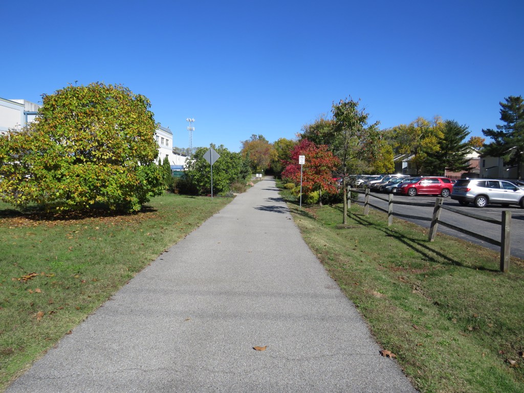
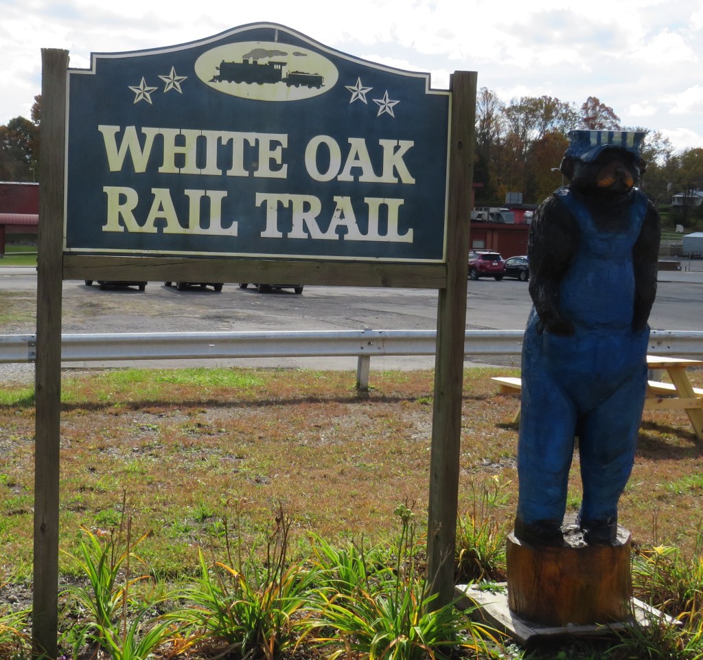
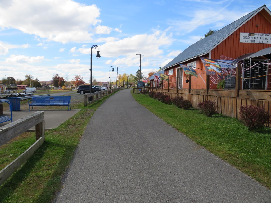
The White Oak Rail Trail is a rail trail that is slightly under eight miles that passes through the town. Much of it is paved, but there are portions of the trail that are not paved. The railroad line was owned by the White Oak Railway, and the rail line was later taken over by the Virginian Railway. The main center point of the trail is the old train station.
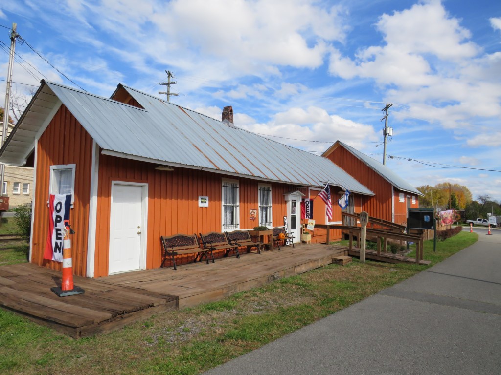
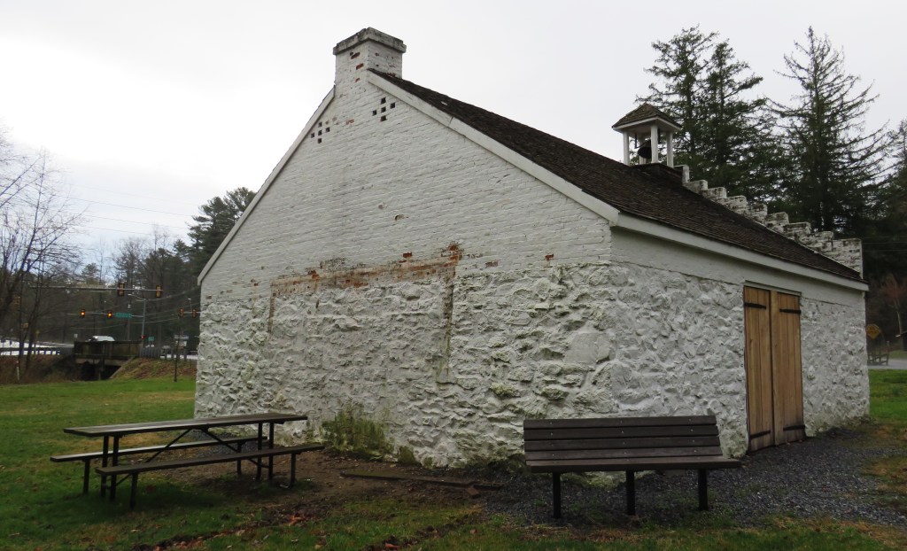
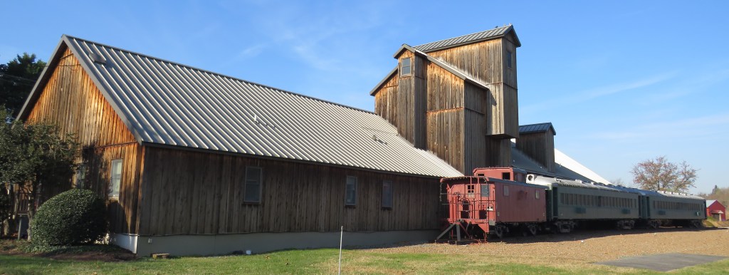
What is special about the old train station? It is one of the oldest structures in Oak Hill. It is a passenger and a freight depot. It was built by the White Oak Railway in 1903, and it was later taken over by the Virginian Railway. Like many small towns, the railroad was a major contributor to the town’s economy. The depot was also used by the Norfolk and Western Railway and the Chesapeake and Ohio Railway. The train depot remained in service until 1983. The rail line later became the rail trail it is today.

The train depot is now an art store selling locally made at. An old railroad line that passes by the old train station is the only reminder of Oak Hill being a railroad town today.
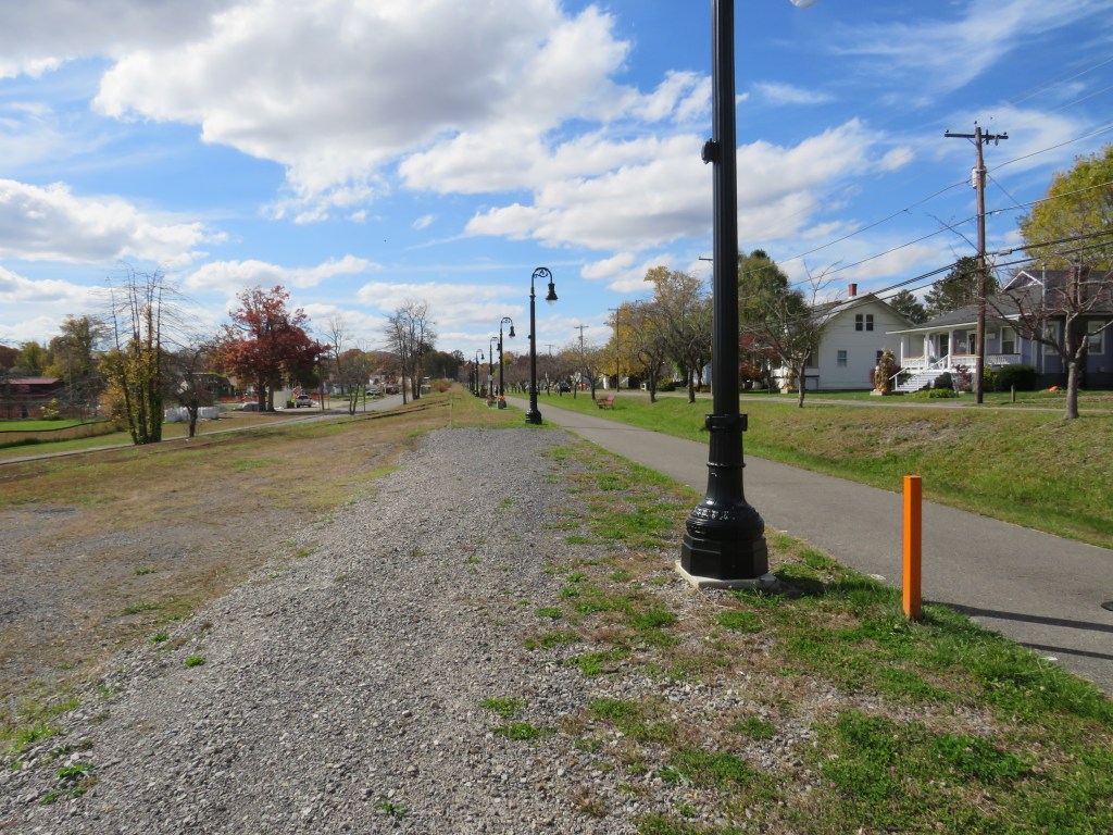
The Oak Hill Train Depot is on the National Register of Historic Places. It is located at the intersection of Virginia Street and Central Avenue. The trail goes north from the depot to the community of Summerlee and south to the community of Carlisle. Much of the trail is wheelchair accessible.

When you think of the New River Gorge region of West Virginia, think of the small town of Oak Hill. It was once a railroad town, and an old train depot remains.